 geo.be Metadata Catalog
low-level flight
Type of resources
Available actions
Topics
INSPIRE themes
federalThemes
Keywords
Contact for the resource
Provided by
Years
Formats
Representation types
Update frequencies
status
Service types
Scale
Resolution
-
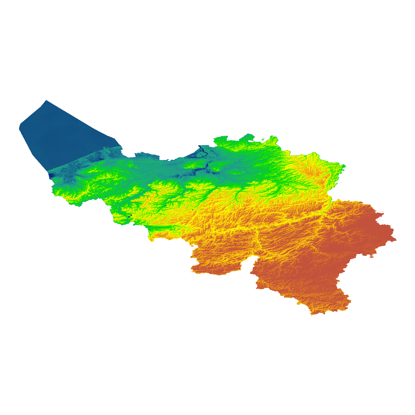
The eTOD digital terrain model (DTM) is a homogeneous and regular point grid that models the height of the ground level for Belgian territory and the height of the sea level in the maritime zone. The primary source is the NGI DTM 5m, which is itself compiled based on the most recent altimetry data of the three Belgian regions and is periodically updated per map sheet at a scale of 1:50,000 using recent stereoscopic aerial images. Where available, updates from the notification platform for aviation obstacles and terrain changes are also integrated. For this DTM, the resolution (1 arcsecond) and the coordinate reference system (WGS84 + EGM2008) are used as defined in the eTOD specifications.
-
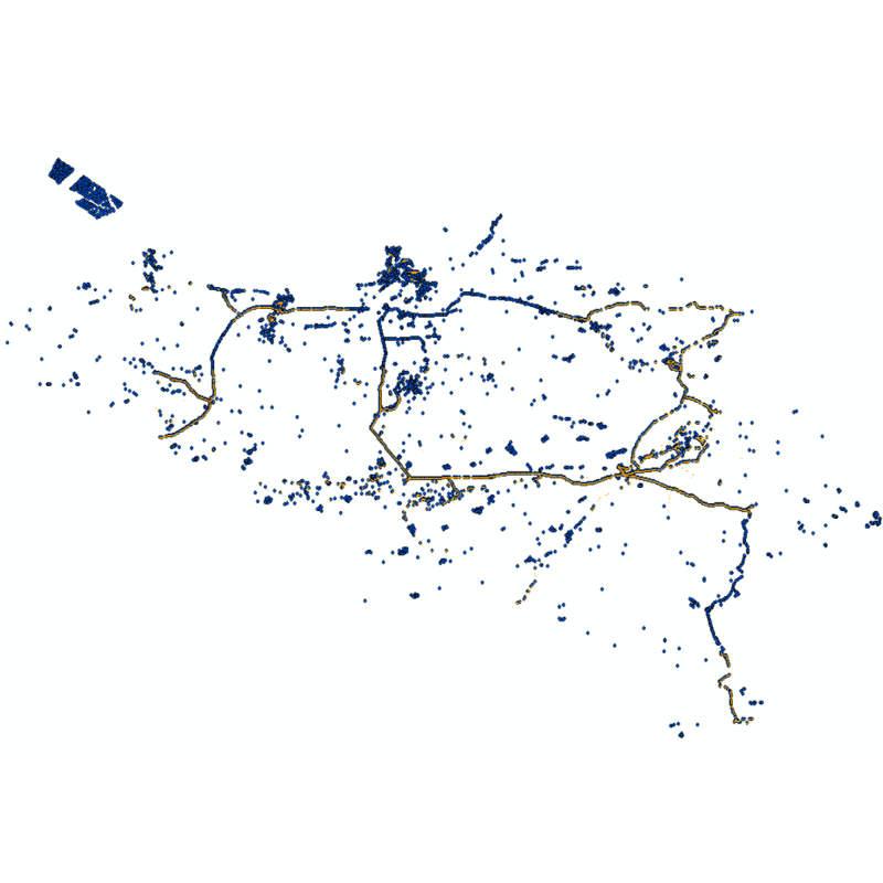
Web service with currently available electronic terrain and obstacle data in Area 1 related to: - Implementing Regulation (EU) No 2017/373 on, inter alia, the common requirements for air navigation service providers, as subsequently amended; - Annex 15 to the Chicago Convention on International Civil Aviation; - ICAO document 10066 PANS-AIM: Procedures for air navigation services, Aeronautical Information Management.
-
Vector dataset of aeronautical obstacles with a height of 60 meters or more above the ground. The update of this dataset takes place on a multi-year cycle; for each obstacle and for each location, the situation is indicated as applicable at the time of its last update. Based on the horizontal range of an obstacle, it is classified into one of three classes: polygonal obstacle if the smallest rectangular area enclosing the obstacle has a length and width of more than 100 meters; line obstacle if the smallest rectangular area enclosing the obstacle has a length of more than 100 meters, but a width of less than 100 meters; point obstruction in other cases.