view
Type of resources
Available actions
INSPIRE themes
federalThemes
Keywords
Contact for the resource
Provided by
Years
Formats
Update frequencies
status
Service types
-
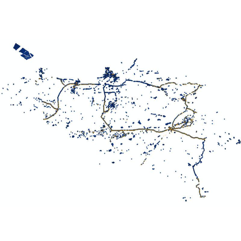
Web service with currently available electronic terrain and obstacle data in Area 1 related to: - Implementing Regulation (EU) No 2017/373 on, inter alia, the common requirements for air navigation service providers, as subsequently amended; - Annex 15 to the Chicago Convention on International Civil Aviation; - ICAO document 10066 PANS-AIM: Procedures for air navigation services, Aeronautical Information Management.
-
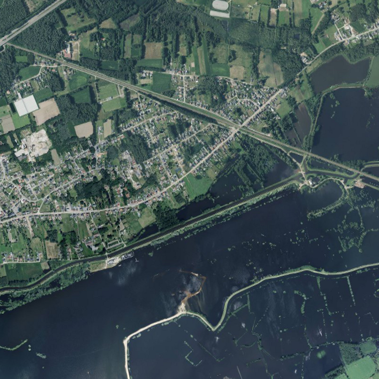
The service makes it possible to view the aerial photos with orthorectification taken by Hansa Luftbild at NGI's request following the floods of July 2021 in the areas of the Vesdre, part of the Meuse downstream of Liège and the Demer. The resolution of the original data is 6.5 cm (4 cm above the Hoëgne). The service allows the images to be viewed at a maximum resolution of 25 cm. Orthophotos are digital aerial photographs in which the systematic distortions due to the central projection, relief and the not always perfectly vertical axis of shooting have been corrected. The orthophoto thereby obtained is metrically more accurate than an ordinary aerial photograph and is highly valuable as basic information.
-
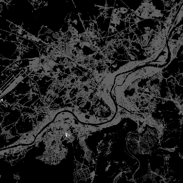
This web service allows viewing CORINE High Resolution Layers Belgium covering the Belgian territory within the framework of a Pan-European coverage. This service is compliant with the INSPIRE specifications.
-
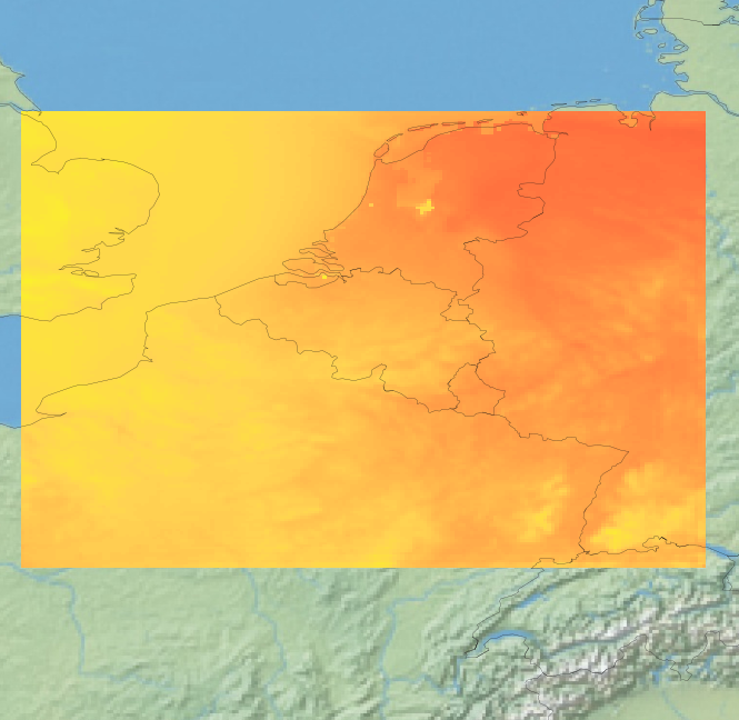
View Service (WMS) for Alaro over Belgium. All the parameters of the last run of Alaro can be visualized, most of them associated with a custom style.
-

This web service allows visualization of the Points Of Interest (POI) indicating the location of places of interest in Belgium, collected by NGI. The dataset consists of 97 POI types grouped into 6 classes (natural elements, religious elements, patrimonial elements, elements of general interest, infrastructures, economy).
-

View Service (WMS) for Automatic weather station (AWS) observations
-
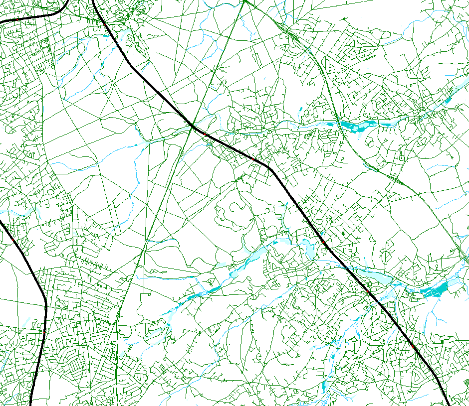
This web service allows viewing the NGI data which comply with the INSPIRE specifications. It gives an overview of the INSPIRE data which are for sale.
-

Climate indicators for a present (1975) and future (2085) target year under a mean and high impact scenario (view and download service with raster files). The climate indicators for Belgium were obtained by a statistical downscaling based on the high-resolution Belgian climate model projections, as well as on a large set of both Global Climate Model runs (CMIP5) and Regional Climate Model runs for Europe (EURO-CORDEX).
-
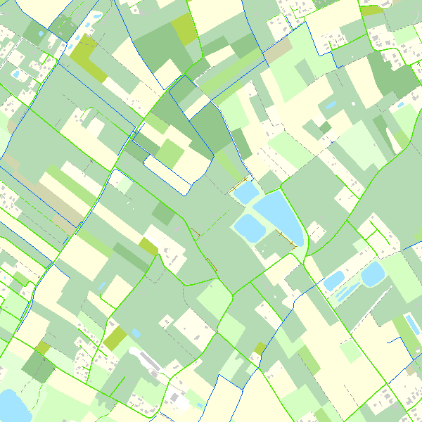
This web service allows viewing the Belgian topographical vector data as established by the National Geographic Institute. It gives an overview of the data sets of the Top10Vector-series which can be purchased.
-
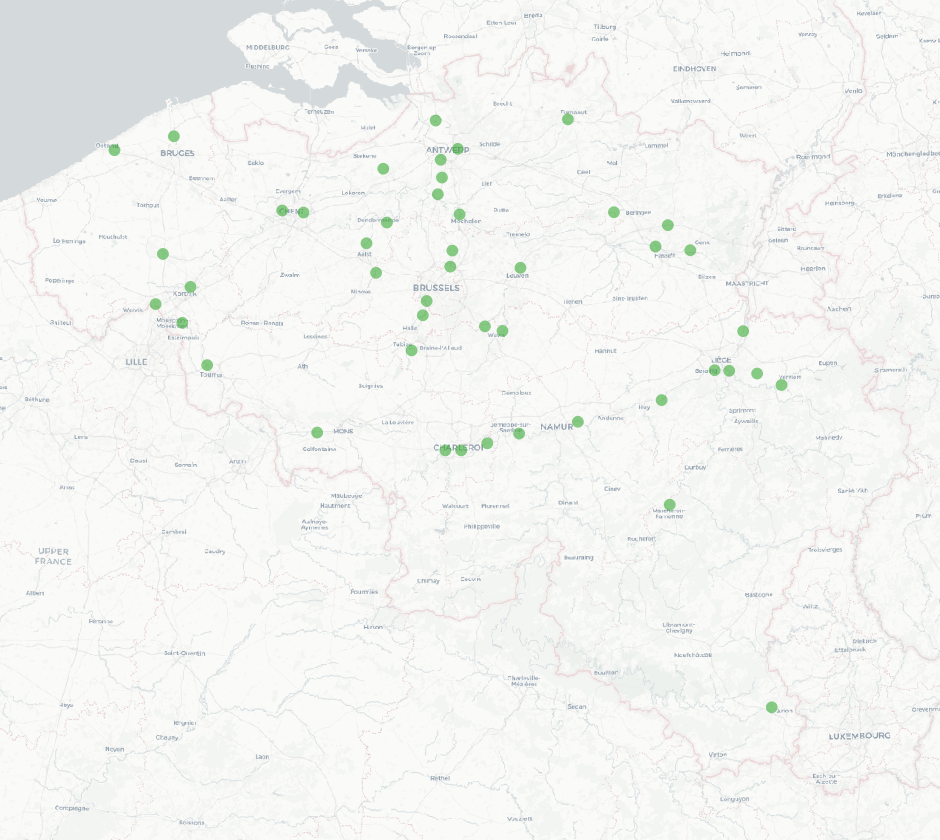
The national wastewater-based epidemiological surveillance monitors public health parameters in several wastewater treatment plants across Belgium. This webservice contains the results per treatment plant since the beginning of the surveillance in September 2020. The results consist of concentrations over time as well as other data needed for the interpretations such as the flow rates of the treatment plants and the population covered.
 geo.be Metadata Catalog