Keyword
swamp
Type of resources
Available actions
Topics
INSPIRE themes
federalThemes
Keywords
Contact for the resource
Provided by
Years
Formats
Representation types
Update frequencies
status
Scale
From
1
-
1
/
1
-

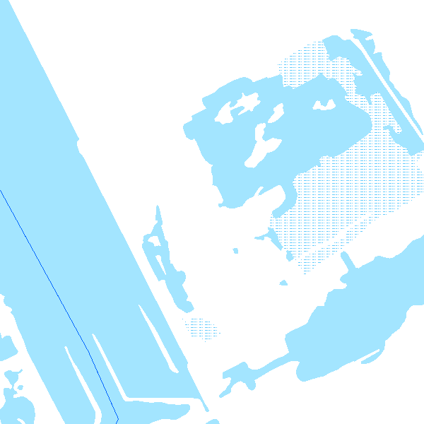
Top10Vector – Hydrography is the data set of the Belgian hydrography. This data set includes six classes. First class: waterway kilometre markers of the Belgian navigable waterways. Second class: watercourse surfaces. Third class: watercourse segments. Fourth class: water points, which means points where the water arrives at the surface or disappears into the subsoil. Fifth class: wetlands, which means zones where the soil is saturated or regularly flooded. Sixth class: water surfaces. This data set can be bought via the corresponding hyperlink.
 geo.be Metadata Catalog