 geo.be Metadata Catalog
quarterly
Type of resources
Available actions
Topics
INSPIRE themes
federalThemes
Keywords
Contact for the resource
Provided by
Years
Formats
Representation types
Update frequencies
status
Scale
Resolution
-

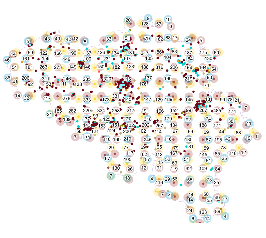
Real estate leases corresponds to the dataset describing leases on real estate items as recorded for registration purposes by the FPS Finance. This dataset is composed of seven classes. The first class shows, at the national level, for each type of lease within the meaning of the Code of Registration Duties, the number of leases taking effects during the term, the nature of the parties concerned by the contract and the median rent and expenses and the percentiles 25 and 75 of the rent and expenses of the properties concerned. The second class includes this information at the level of the three regions. The following classes do the same at the level of provinces, arrondissements, municipalities, cadastral divisions and statistical sectors. The dataset can be freely downloaded as a zipped CSV.
-

‘Top10Vector – Railway network’ is the dataset of the railway network in Belgium. This dataset includes 3 feature types, namely the railway track segments [RA_railwaytracksegment], railway stops [RA_railwaystop] and railway kilometer markers [RA_railwaykilometremarker]. The dataset can be downloaded via the links in 'Access' at the bottom of this page.
-
Points Of Interest - Cult elements contains point elements relating to the cult, namely churchs (anglican, catholic, orthodox, protestant), mosques, synanogues, buddhist temples, chapels, abbeys, priories and other religious buildings or small monuments in Belgium.
-

The entities included in the dataset represent the physical network in the sense of the Inspire European directive. The dataset comprises several classes and is in accordance with the INSPIRE specifications. The Wetland class represents poorly drained or periodically flooded portions of land, the soil of which is saturated with water but where vegetation is nevertheless able to develop. The StandingWater class represents flooded areas that are, nevertheless, completely surrounded by land.
-

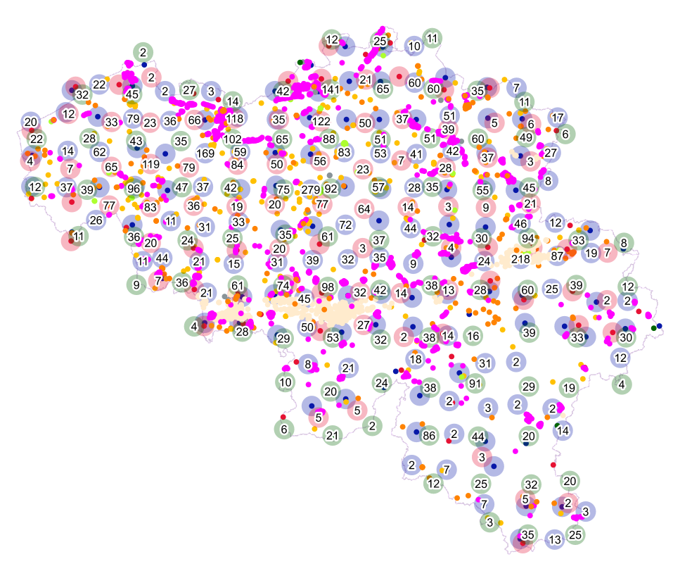
This dataset contains a set of Points Of Interest (POI) indicating the location of places of interest in Belgium, collected by NGI. The dataset consists of 97 POI types grouped into 6 classes (natural elements, cult elements, patrimonial elements, elements of general interest, infrastructures, economy). POI types that have a link with the NGI topographic reference data are systematically monitored to ensure consistency between these data. But for other POI types, there is no guarantee of completeness and correctness. These are updated ad hoc when an error or incompleteness is noticed.
-
Points Of Interest - Infrastructures interest contains point elements indicating the location of a infrastructure, such as a container depot, incinerator, brunnel (bridges and tunnels), rail traffic, subway access, subway and tram stops, heli- and airport, control tower, light mast, lighthouse, water tower, flashing-lamp, breakwater, harbour area, marina, ship lift, dock, embankment, sluice, stilt structure and water point in Belgium.
-

‘Top10Vector – High-voltage network’ is the vector dataset for the Belgian high-tension grid. The dataset consists of 2 feature types: high-voltage line segments [HT_hightensionlinesegment] and high-voltage pylons [HT_powerpylon]. The dataset can be downloaded via the links in 'Access' at the bottom of this page.
-

Points Of Interest - patrimonial elements contains point elements relating to the patrimony, namely (water and wind)mill, (historic, commemoration, fortified) building, historic mound, ice house, castle, kiosk, shoring, non-religious monument, monumental stairs in Belgium.
-
Points Of Interest - Economy interest contains point elements indicating the location of an economic activity, such as a brewery, wholesale market, (commercial, industrial) building, cooling tower, gas processing/disposal, slagheap, telecommunications, wind turbine, solar panel park in Belgium.
-
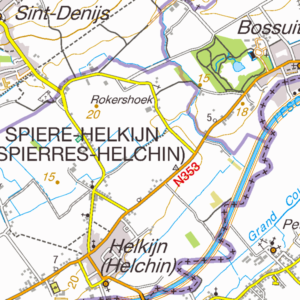
Top50Map is a digital version of the NGI’s topographic cartography on a scale of 1:50 000. The images come from the symbolisation of the objects and the themes in the topo-geographic inventory of the Belgian territory (ITGI), which is built and kept up-to-date by the NGI. It can be used for on-screen viewing or printed on scales between 1:25 000 and 1:50 000 (recommended threshold values). Top50Map is meant for regional use.