 geo.be Metadata Catalog
Shapefile
Type of resources
Available actions
Topics
INSPIRE themes
Keywords
Contact for the resource
Provided by
Years
Formats
Representation types
Update frequencies
status
Service types
-

INSPIRE compliant download service (WFS) for geographic information of the Marine Spatial Plan made available by the Royal Belgian Institute for Natural Sciences (RBINS).
-

Download Service (WFS) for Synoptic observations
-
Download Service (WFS) for Automatic weather station (AWS) observations
-

INSPIRE compliant download service for geographic information of marine datasets made available by the Royal Belgian Institute for Natural Sciences (RBINS) in the IDOD (Integrated and Dynamical Oceanographic Database) database.
-
INSPIRE compliant download service for geographic information of general marine datasets made available by the Royal Belgian Institute for Natural Sciences (RBINS). More specific products such as the Marine Spatial Plan and the MSFD data are provided by other WMS services.
-
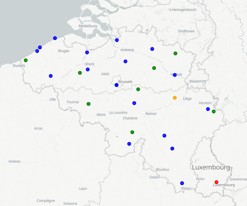
RMI operates a network of 17 automatic weather stations in Belgium. These weather stations report meteorological paramaters such as air pressure, temperature, relative humidity, precipitation (quantity,duration), wind (speed, gust, direction), sunshine duration, shortwave solar radiation and infrared radiation every 10 minutes. Daily AWS data are computed from the 10-min observations.
-

Download Service (WFS) for Networks of automatic lidar-ceilometer systems The data are updated each 10 minutes. Only the archives of the last 30 days are available.
-
The SYNOP data of RMI contain the observations of the synoptic network, currently consisting of 29 stations, 13 of which are owned by RMI. The other stations belong to MeteoWing (8 stations), Skeyes (7 stations). There is also 1 foreign station. All SYNOP data is given in Universal Time! (local time winter = UT +1; local time summer = UT + 2) Parameters: 1. Precipitation: PRECIP_QUANTITY + PRECIP_RANGE 2. Temperature: TEMP + TEMP_MIN + TEMP_MAX + TEMP_GRASS_MIN 3. Wind: WIND_SPEED + WIND_SPEED_UNIT + WIND_DIRECTION + WIND_PEAK_SPEED 4. relative humidity: HUMIDITY_RELATIVE 5. weather type: WEATHER_CURRENT 6. air pressure: PRESSURE of PRESSURE_STATION_LEVEL 7. sunshine duration: SUN_DURATION_24H 8. Global radiation: SHORT_WAVE_FROM_SKY_24HOUR 9. Total cloudiness: CLOUDINESS
-
INSPIRE compliant download service (WFS) for geographic information of the core sample collection made available by the Royal Belgian Institute for Natural Sciences (RBINS).
-
RMI operates a network of 17 automatic weather stations in Belgium. These weather stations report meteorological paramaters such as air pressure, temperature, relative humidity, precipitation (quantity,duration), wind (speed, gust, direction), sunshine duration, shortwave solar radiation and infrared radiation every 10 minutes.