 geo.be Metadata Catalog
text/html
Type of resources
Topics
INSPIRE themes
Keywords
Contact for the resource
Provided by
Years
Formats
Representation types
Scale
-
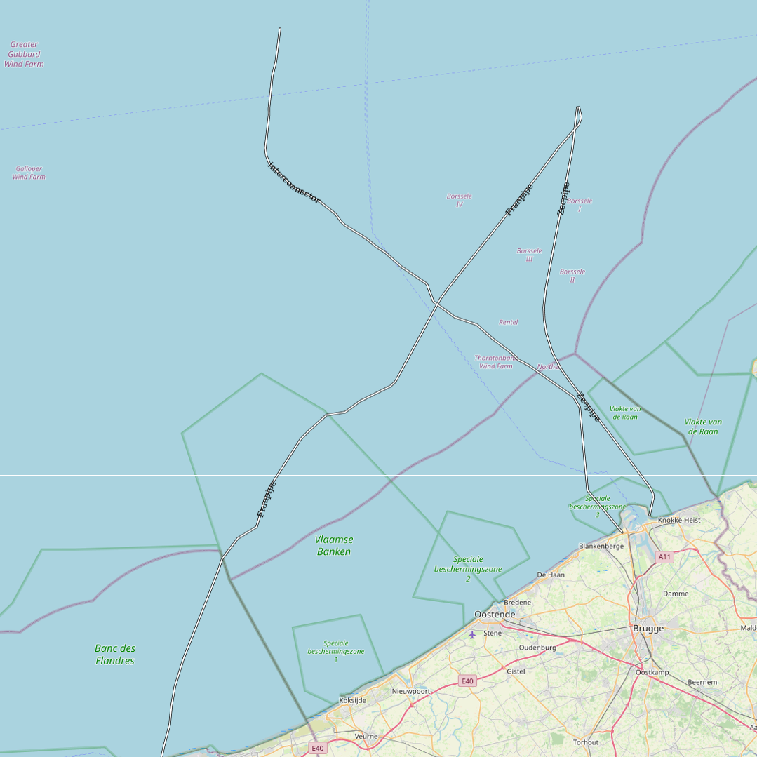
This dataset represents the exact location of gas pipelines installed in the Belgian Part of the North Sea.
-

This dataset is part of the 2024 Belgian submission for the Marine Strategy Framework Directive (MSFD) linked to descriptor 10, criterion 3. This dataset reports the amount of plastic ingested (stomach contents) by Northern Fulmars (Fulmarus glacialis) beached along the Belgian coast (environmental target: fewer than 10% of fulmars contain more than 0.1g of plastic in their stomach).
-

This dataset represents the exact location of the wind turbines in the Belgian Part of the North Sea.
-
This dataset is part of the 2024 Belgian submission for the Marine Strategy Framework Directive (MSFD) linked to descriptor 3, criteria 1, 2 and 3. It provides the fishing mortality rate, spawning stock biomass and population age/size distribution of commercially-exploited fish and shellfish in the Belgian part of the North Sea, combining fishery-independent survey data (Beam Trawl Survey and Demersal Young Fish Survey) with fishery-dependent observer-at-sea data collected under the Common Fisheries Policy Data Collection Framework. ICES provides the resulting scientific advice to the governments and international regulatory bodies that manage the North Atlantic Ocean and adjacent seas.
-
This dataset represents the exact location of electrical cables installed in the Belgian Part of the North Sea, including these for for the wind farms.
-
This dataset is part of the 2024 Belgian submission for the Marine Strategy Framework Directive (MSFD) linked to descriptor 1, criterion 3. This dataset reports the breeding success (population demographic characteristics) of benthic-feeding, pelagic-feeding, surface-feeding and wading birds breeding along the Belgian coast.
-
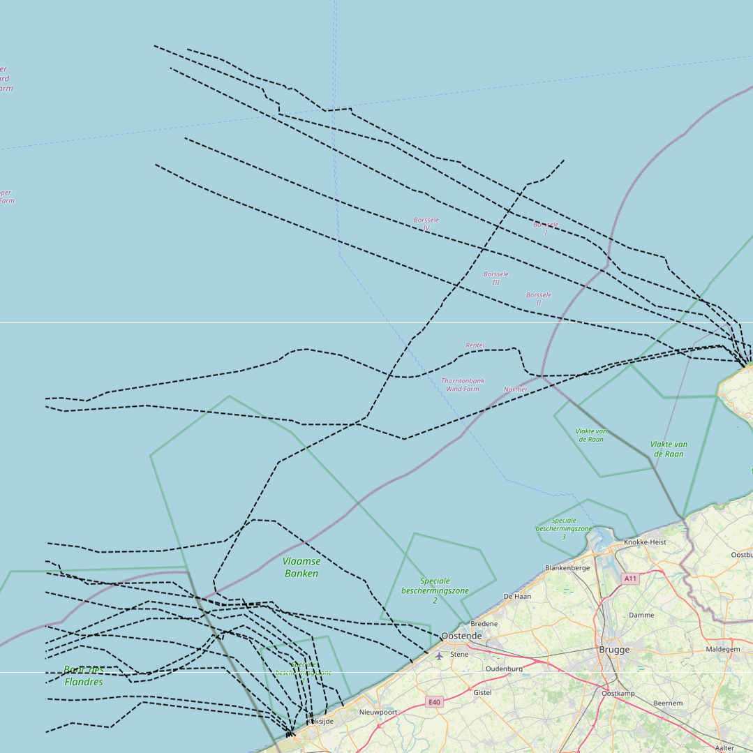
This dataset represents the exact location of disused telecommunication cables installed in the Belgian Part of the North Sea.
-
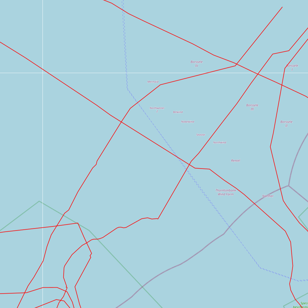
This dataset represents the exact location of active telecommunication cables (verified in 2010) installed in the Belgian Part of the North Sea.
-
This dataset is part of the 2024 Belgian submission for the Marine Strategy Framework Directive (MSFD) linked to descriptor 1, criterion 1. It reports the mortality rate of marine mammals, in particular harbour porpoise (Phocoena phocoena), from incidental bycatch in the Belgian part of the North Sea, combining strandings investigations, reported incidental catches and aerial abundance surveys.
-
This dataset is part of the 2024 Belgian submission for the Marine Strategy Framework Directive (MSFD) linked to descriptor 1, criterion 2. It originates from the ICES DATRAS (Database of Trawl Surveys), which compiles standardised bottom trawl survey data collected from various European waters; for this indicator, the Belgian Beam Trawl Survey (BTS) data from the North Sea were used. The dataset includes species abundance, length and age distributions, catch per unit effort, and environmental parameters, providing key insights on the population abundance of thornback ray (Raja clavata) and lesser-spotted dogfish (Scyliorhinus canicula) for stock assessment and fisheries management.