0.125 m
Type of resources
Available actions
Topics
INSPIRE themes
federalThemes
Keywords
Contact for the resource
Provided by
Years
Formats
Representation types
Update frequencies
status
Resolution
-

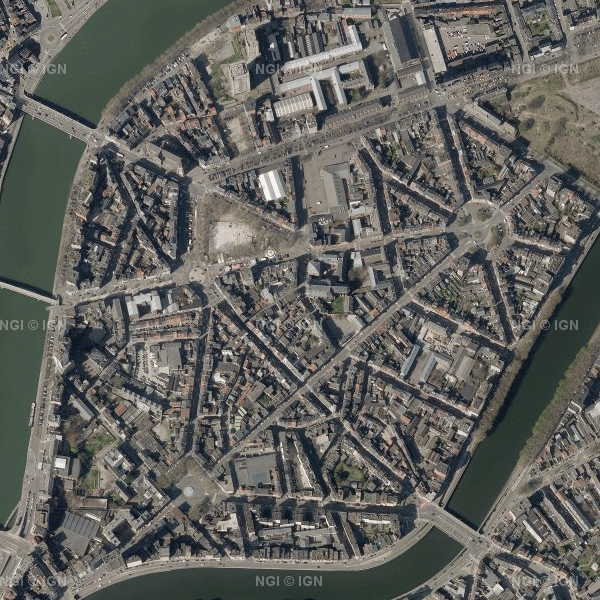
Orthophotos are digital aerial photographs in which the systematic distortions caused by the central projection, terrain relief and an image acquisition axis that is not always perfectly vertical have been corrected. The national orthophoto coverage is renewed annually. This dataset always contains the most recent operational orthophoto mosaics for the entire territory of Belgium. When the most recent acquisition campaign does not provide full coverage, the dataset is composed of the last one or two campaigns. In the current version of the dataset, the most recent national orthophoto coverage consists of a combination of the 2023 and 2024 campaigns. The orthophotos have a spatial resolution of 25 cm in Wallonia and 12.5 cm in Flanders and the Brussels-Capital Region. The source data are supplied by the Belgian administrative Regions. NGI harmonises these regional datasets (geometrically and radiometrically) into a single national mosaic, georeferenced in Lambert 2008 (EPSG:3812) and tiled according to the MapIndex1 grid. The dataset is INSPIRE-compliant and can be downloaded as compressed JPEG2000 files (JP2) per MapIndex1 tile, with the corresponding world file (.j2w) and metadata describing the extent of the tiles.
 geo.be Metadata Catalog