 geo.be Metadata Catalog
water monitoring
Type of resources
Topics
INSPIRE themes
Keywords
Contact for the resource
Provided by
Years
Formats
Representation types
-
This datasets is a summary of the CTD profiles measured with the RV Belgica. It provides general meta-information such as the campaign code, the date of measurement and the geographical information. An important information is the profile quality flag that describes the validity of the data. A quality flag = 2 means the data is generally good although some outliers can still be present. A quality flag = 4 means the data should not be trusted. 1 meter binned data can be download on the SeaDataNet CDI portal (enter the cruise_id in the search bar) ONLY for the good quality profiles. Full acquisition frequency datasets are available on request to BMDC.
-
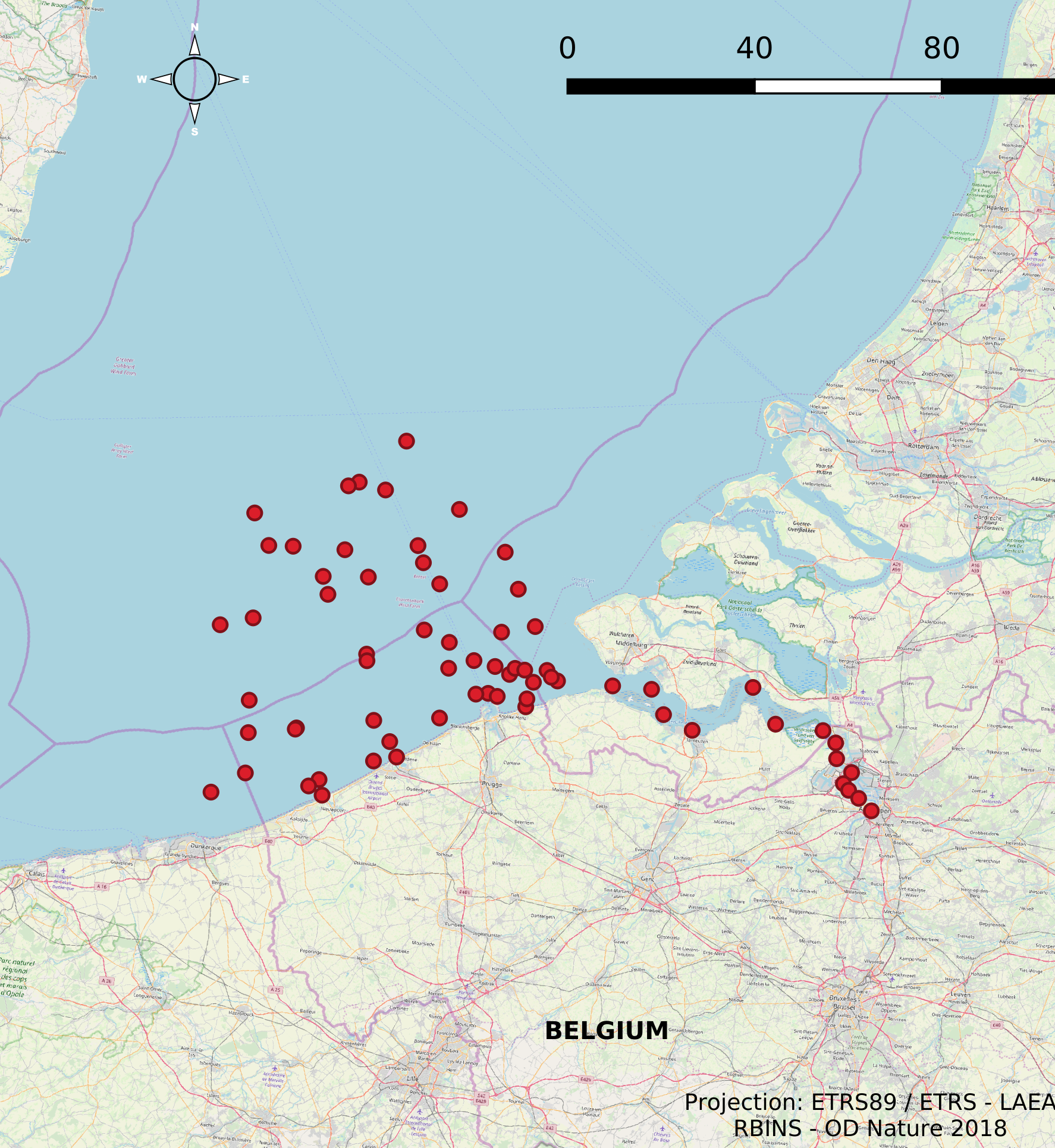
The Scientific Service Management Unit of the Mathematical Model of the North Sea of the Royal Belgian Institute for Natural Sciences has been operating monitoring stations on the Belgian Part of the North Sea since the 1970s. These stations are located in the Scheldt estuary, at open sea and in coastal waters. In 2007, 10 new stations were designated and were placed in the monitoring network needed for the OSPAR convention, the Water Framework Directive and the Marine Strategic Framework Directive. These replaced a series of 54 previous monitoring stations whose data was gathered throughout the years for the Belgian Monitoring Programme and reported according to the recommendations of the OSPAR Convention. This dataset contains information on all monitoring stations ever used by the Scientific Service Management Unit of the Mathematical Model of the North Sea. The dataset provides location, name, operational history and for which reporting obligations they are used.