 geo.be Metadata Catalog
county
Type of resources
Available actions
INSPIRE themes
federalThemes
Keywords
Contact for the resource
Provided by
Years
Formats
Representation types
Update frequencies
status
Scale
-
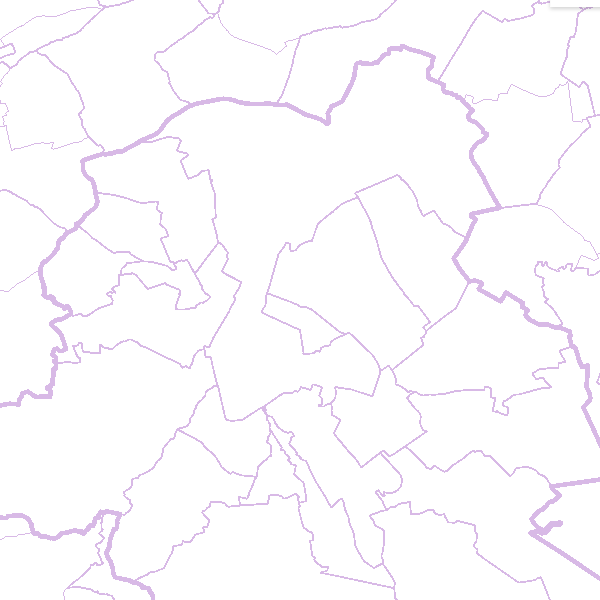
AdminVector is the dataset containing the statistical, geographical and administrative units in Belgium. This dataset consists of 11 feature types. The first feature type included in the dataset are the statistical sectors [statisticalsector] as defined by Statbel. The second feature type comprises the former municipalities [municipalsection]. They do not have an official administrative level. The next six feature types comprise the official administrative units, namely the municipalities [municipality], arrondissements [arrondissement], provinces [province], regions [region], and the borders of the Belgian territory [belgianterritory], including the borders of the territorial waters [belgianmaritimezone]. In addition, there are three feature types available in the form of point elements, namely the centers of the (former) municipalities [municipalsectioncenter] [municipalcenter] and border markers [bordermarker]. This dataset can be downloaded via the links in 'Access'.