 geo.be Metadata Catalog
text/html
Type of resources
Topics
INSPIRE themes
Keywords
Contact for the resource
Provided by
Years
Formats
Representation types
Scale
-
This dataset represents the exact location of electrical cables installed in the Belgian Part of the North Sea, including these for for the wind farms.
-
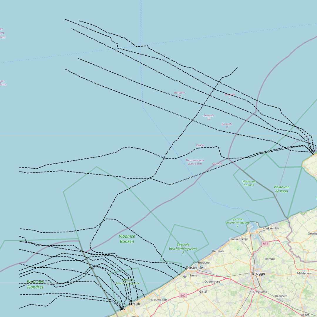
This dataset represents the exact location of disused telecommunication cables installed in the Belgian Part of the North Sea.
-
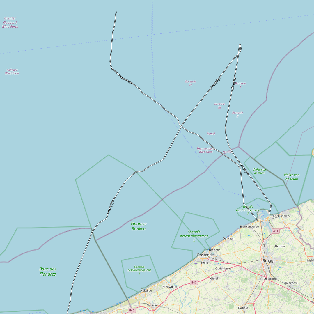
This dataset represents the exact location of gas pipelines installed in the Belgian Part of the North Sea.
-
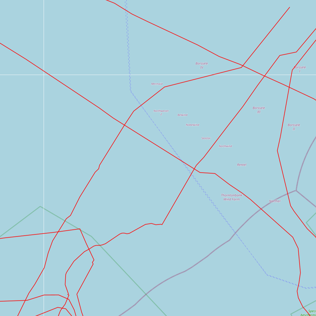
This dataset represents the exact location of active telecommunication cables (verified in 2010) installed in the Belgian Part of the North Sea.
-

This dataset represents the exact location of the wind turbines in the Belgian Part of the North Sea.
-
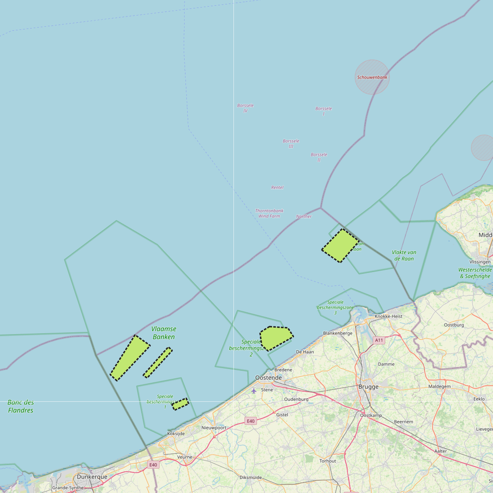
The Royal Decree of 22 May 2019 establishing a marine spatial plan defines 5 commercial and industrial zones: Zone A for commercial and industrial activities (Art. 23§1), Zone B for commercial and industrial activities (Art. 23§1), Zone C for commercial and industrial activities (Art. 23§1), Zone D for commercial and industrial activities (Art. 23§1), Zone E for commercial and industrial activities (Art. 23§1). Please refer to the Belgian official gazette (\"Moniteur belge/Belgisch Staatsblad\") for official reference information.
-
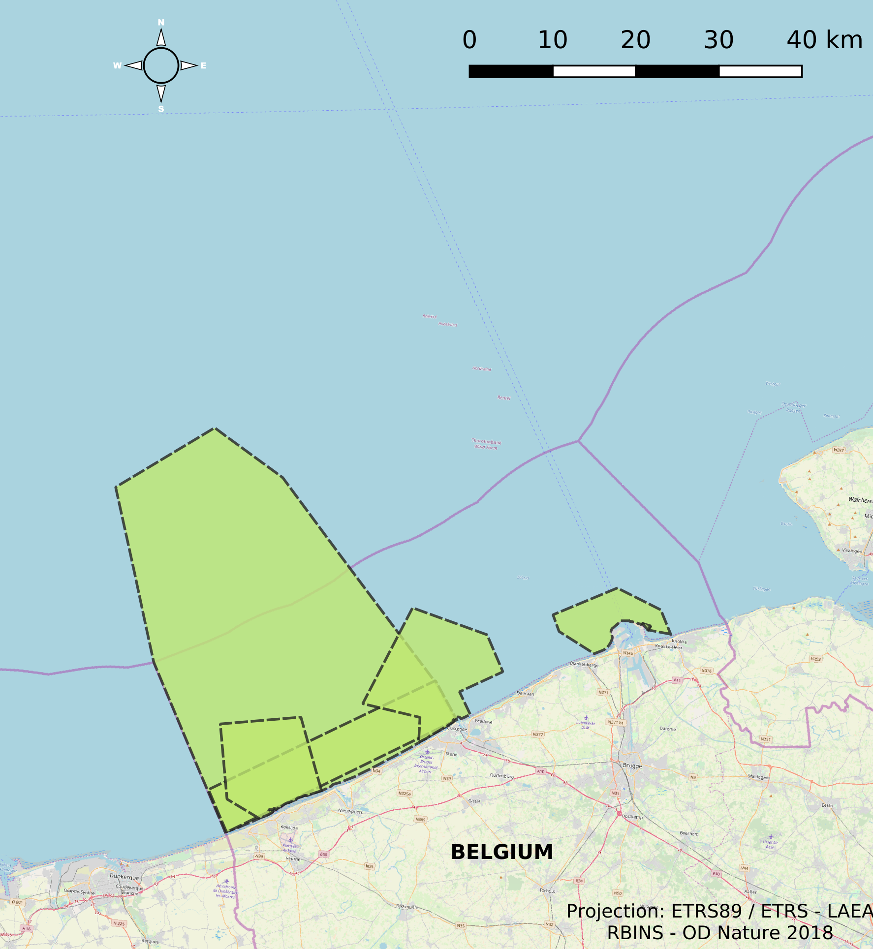
The Royal Decree of 22 May 2019 establishing a marine spatial plan defines 5 nature conservation areas: Special area for conservation 'The Flemish Banks' (Art. 7§1), Special area for conservation 'Vlakte van de Raan' (Art. 7§3), Special protection area for birds - SPA 1 (Art. 7§5.1°), Special protection area for birds - SPA 2 (Art. 7§5.2°), Special protection area for birds - SPA 3 (Art. 7§5.3°). It replaces the 2014 Marine Spatial Plan, which is included for completeness. The Royal Decree of 20 March 2014 establishing a marine spatial plan defines in its Art. 7., six nature conservation sites: two special areas for conservation (Art. 7. §1, Special area for conservation 'Vlaamse Banken' and Art. 7. §3, Special area for conservation 'Trapegeer stroombank'), three special protection zones for birds (Art7§4.1°, SBZ1, Art7§4.2°, SBZ2, Art7§4.3°, SBZ3), and one marine reserve (Art7§8, Marine reserve 'Baai van Heist'). These zones are made available digitally in the resource described by this metadata document. Please refer to the Belgian official gazette (\"Moniteur belge/Belgisch Staatsblad\") for official reference information.
-
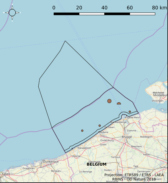
The Royal Decree of 22 May 2019 establishing a marine spatial plan defines in its Art. 11. five dredged material disposal sites (Dredged material disposal site S1, Art. 11 § 1.1°; Dredged material disposal site S2, Art. 11 § 1.2°; Dredged material disposal site Bruggen en Wegen Oostende, Art. 11 § 1.3°; Dredged material disposal site Bruggen en Wegen Zeebrugge Oost, Art. 11 § 1.4°; Dredged material disposal site Bruggen en Wegen Nieuwpoort, Art. 11 § 1.5°). Futhermore, additional zones are defined for the future replacement of dredging areas as defined in Art. 11 §3, §5, §7 and §9. It replaces the 2014 Marine Spatial Plan, which is included for completeness. The Royal Decree of 20 March 2014 establishing a marine spatial plan defines in its Art. 9. five dredged material disposal sites (Dredged material disposal site S1, Art. 9 § 6.1°; Dredged material disposal site S2, Art. 9 § 6.2°; Dredged material disposal site Bruggen en Wegen Oostende, Art. 9 § 6.3°; Dredged material disposal site Bruggen en Wegen Zeebrugge Oost, Art. 9 § 6.4°; Dredged material disposal site Bruggen en Wegen Nieuwpoort, Art. 9 § 6.5°). These zones are made available digitally in the resource described by this metadata document. Please refer to the Belgian official gazette (\"Moniteur belge/Belgisch Staatsblad\") for official reference information.
-
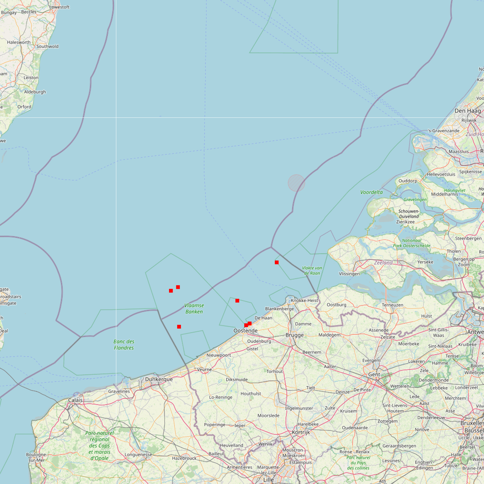
The Royal Decree of 22 May 2019 establishing a marine spatial plan defines 7 cultural heritage (wrecks) zones: 'HMS Briljant' wreck (Art. 22), 'SS Kilmore' wreck (Art. 22), '’t Vliegend Hart' wreck (Art. 22), 'U-11' wreck (Art. 22), 'West Hinder' wreck (Art. 22), Wooden wreck 'Oostende' (Art. 22), Wreck site 'Buiten Ratel' (Art. 22). Please refer to the Belgian official gazette (\"Moniteur belge/Belgisch Staatsblad\") for official reference information.
-
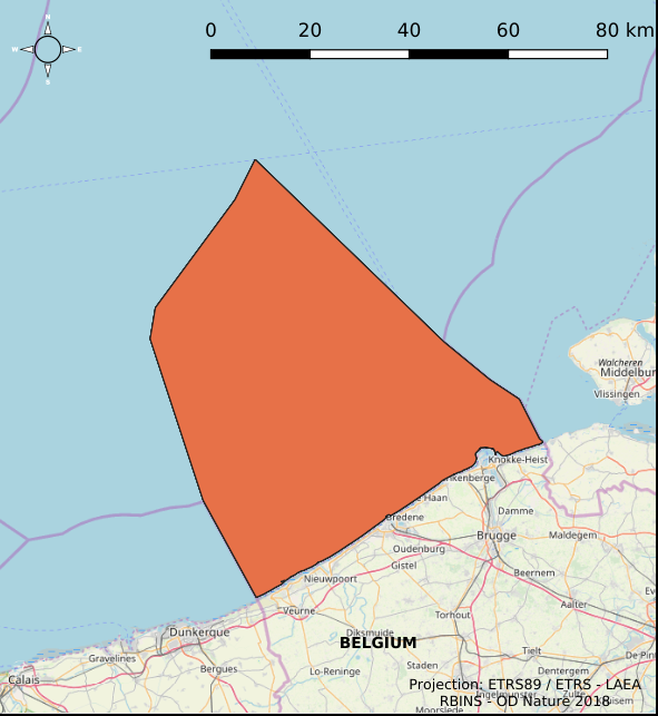
The Royal Decree of 22 May 2019 establishing a marine spatial plan defines 1 radar tower: Radar Oostdyck (Art. 21§3). Please refer to the Belgian official gazette (\"Moniteur belge/Belgisch Staatsblad\") for official reference information.