interactiveMap
Type of resources
INSPIRE themes
federalThemes
Keywords
Contact for the resource
Provided by
Years
Update frequencies
Service types
-

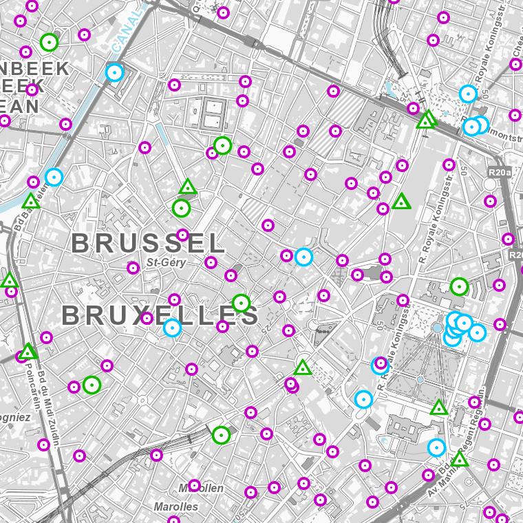
The web application G-DOC provides information on all Belgian geodetic reference points. These points can be used as starting points or checkpoints to determine coordinates according to the national reference systems. three groups of geodetic reference points are available: 3D points, altimetric points and planimetric points.
-

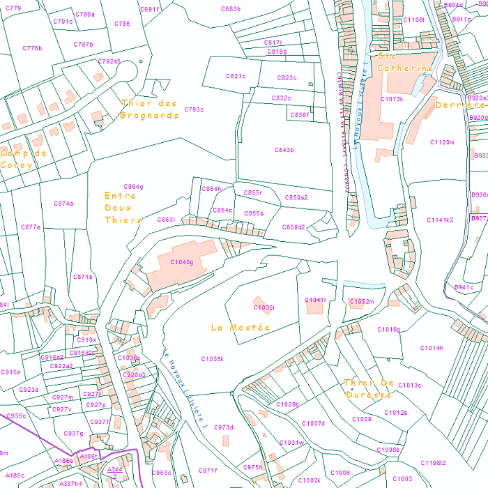
CadGIS Viewer is an application developed by the General Administration of Patrimonial Documentation of the FPS Finance. This application allows to: - consult the current situation of the land register plan and the administrative units and print them out; - consult all the tax situations since 2018 (situation as on 1 January) for the land register plan and administrative units; - search and geolocate the objects on the land register plan on the basis of space characteristics or queries; - ask for and print out cadastral plan parcels within a certain range around or adjacent to one or more parcels ; - search graphically on the map for surveyors' plans (only for surveyors); - add additional data to the map, both from a predefined list (IGN - Belgian national geographical institute’s aerial photographs, Cartoweb, regional reference frames such as GRB and PICC, ...) as well as other data via the URL of web services.
 geo.be Metadata Catalog