CadGIS Viewer
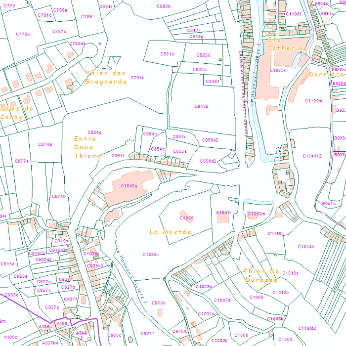
CadGIS Viewer is an application developed by the General Administration of Patrimonial Documentation of the FPS Finance. This application allows to:
- consult the current situation of the land register plan and the administrative units and print them out;
- consult all the tax situations since 2018 (situation as on 1 January) for the land register plan and administrative units;
- search and geolocate the objects on the land register plan on the basis of space characteristics or queries;
- ask for and print out cadastral plan parcels within a certain range around or adjacent to one or more parcels ;
- search graphically on the map for surveyors' plans (only for surveyors);
- add additional data to the map, both from a predefined list (IGN - Belgian national geographical institute’s aerial photographs, Cartoweb, regional reference frames such as GRB and PICC, ...) as well as other data via the URL of web services.
Simple
Identification info
- Date (Creation)
- 2015-01-01
- Identifier
- GAPD / a1a7e400-71eb-11eb-8a55-3448ed25ad7c
- Maintenance and update frequency
- As needed
- Use constraints
- Other restrictions
- Other constraints
- The licence is fully available in French (https://finances.belgium.be/sites/default/files/Licence_plan_opendata_FR.PDF) or in Dutch (https://financien.belgium.be/sites/default/files/Licentie_plan_opendata_NL.PDF).
- Access constraints
- Other restrictions
- Other constraints
- No limitations on public access
- Other constraints
- The licence is fully available in French (https://finances.belgium.be/sites/default/files/Licence_plan_opendata_FR.PDF) or in Dutch (https://financien.belgium.be/sites/default/files/Licentie_plan_opendata_NL.PDF).
- Service Type
- application
- Description
- Belgium
))
Coupled Resource
- Operation Name
- GetCapabilities
- Identifier
- bc5418a7-bb6d-4d74-8af9-48fcae0bc299
- Coupling Type
- Tight
Contains Operations
- Connect Point
- https://eservices.minfin.fgov.be/ecad-web/#/ ( WWW:LINK-1.0-http--link )
- Reference system identifier
- 3812
- Reference system identifier
- 31370
- OnLine resource
-
Application
(
WWW:LINK-1.0-http--link
)
Application
- Hierarchy level
- Service
- Other
- service
Domain consistency
- Name of measure
- INSPIRE Conformity
Conformance result
- Date (Publication)
- 2009-08-19
- Explanation
- The service described does not meet the technical requirements as defined by the Commission Regulation (EC) No 976/2009 of 19 October 2009.
- Pass
- No
- File identifier
- a1a7e400-71eb-11eb-8a55-3448ed25ad7c XML
- Metadata language
- English
- Character set
- UTF8
- Hierarchy level
- Interactive map
- Hierarchy level name
- Application
- Date stamp
- 2026-02-03T11:22:45
- Metadata standard name
- ISO 19115:2003/19139
- Metadata standard version
- 1.0
Overviews

Spatial extent
))
Provided by

 geo.be Metadata Catalog