Keyword
Urban Atlas
Type of resources
Available actions
INSPIRE themes
federalThemes
Keywords
Contact for the resource
Provided by
Years
Formats
Representation types
Update frequencies
status
From
1
-
1
/
1
-

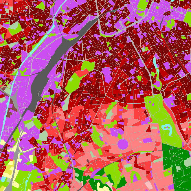
The European Urban Atlas provides reliable, inter-comparable, high-resolution land use and land cover data for 800 Functional Urban Area (FUA) for the 2012 reference year in EEA39 countries. This datasets contains the FUA for Belgium (Antwerpen, Brugge, Bruxelles_Brussel, Charleroi, Gent, Kortrijk, Leuven, Liege, Mons, Namur and Oostende).
 geo.be Metadata Catalog