Abstract Observed Event
Type of resources
INSPIRE themes
federalThemes
Keywords
Contact for the resource
Provided by
Years
Formats
Representation types
Update frequencies
status
Resolution
-

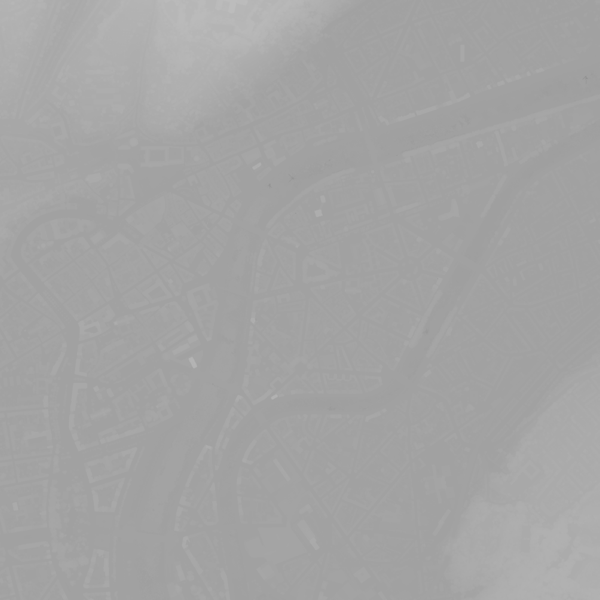
This dataset shows a digital surface model. It is a homogeneous and regular points grid which indicates the height above the surface of the earth, either the soil or any other permanent and visible element in the landscape (vegetation, construction,…). These data represent the situation of the landscape resulting from the July 2021 floods in het areas of the Vesdre, of part of the Meuse downstream from Liège and of the Demer.
-

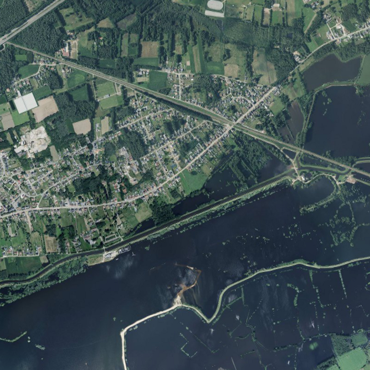
This dataset contains the orthophotos of the floodable areas along the Meuse, the Vesdre and the Demer. These orthophotos are digital aerial photographs, taken by Hansa Luftbild following the floods of July 2021, in which the systematic distortions due to the central projection, relief and the not always perfectly vertical axis of shooting have been corrected. The orthophoto thereby obtained is metrically more accurate than an ordinary aerial photograph and is highly valuable as basic information. The resolution of the data is 6.5 cm (4 cm above the Hoëgne).
 geo.be Metadata Catalog