 geo.be Metadata Catalog
Resolution
3 m
Type of resources
Available actions
Topics
INSPIRE themes
federalThemes
Keywords
Contact for the resource
Provided by
Years
Formats
Representation types
Update frequencies
status
Resolution
From
1
-
1
/
1
-
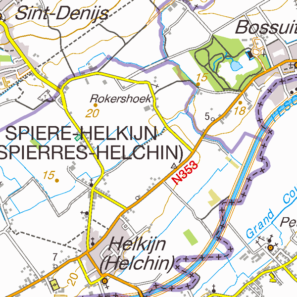
Top50Map is a digital version of the NGI’s topographic cartography on a scale of 1:50 000. The images come from the symbolisation of the objects and the themes in the topo-geographic inventory of the Belgian territory (ITGI), which is built and kept up-to-date by the NGI. It can be used for on-screen viewing or printed on scales between 1:25 000 and 1:50 000 (recommended threshold values). Top50Map is meant for regional use.