 geo.be Metadata Catalog
cl_maintenanceAndUpdateFrequency
Irregular
Type of resources
Available actions
INSPIRE themes
federalThemes
Keywords
Contact for the resource
Provided by
Years
Formats
Representation types
Update frequencies
status
Resolution
From
1
-
1
/
1
-
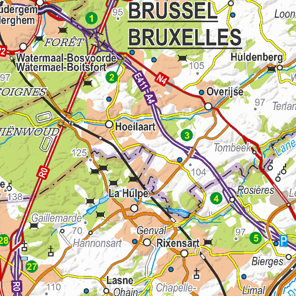
Top250Map is a digital version of the NGI’s topographic cartography on a scale of 1:250 000. It is the smallest scale used by the NGI to produce a cartographic representation of Belgium. It focuses mainly on inhabited places and transport networks. The whole territory is available in one single file. This map is characterized by the great number of toponyms of inhabited places.