20 m
Type of resources
Available actions
Topics
INSPIRE themes
federalThemes
Keywords
Contact for the resource
Provided by
Years
Formats
Representation types
Update frequencies
status
Resolution
-

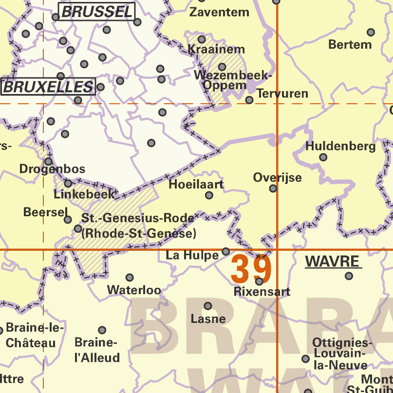
AdminMap is the digital version of the administrative map. Two versions exist: the most complete one on the scale of 1:300 000 and a simplified version on the scale of 1:500 000. These maps show the different administrative units on the Belgian territory, from the federal State to the center of the districts for the 1:500 000. The map also shows the map grid of the National Geographic Institute. An index allows localizing the different units. The index also contains information on the linguistic statutes and on the postal codes.
-

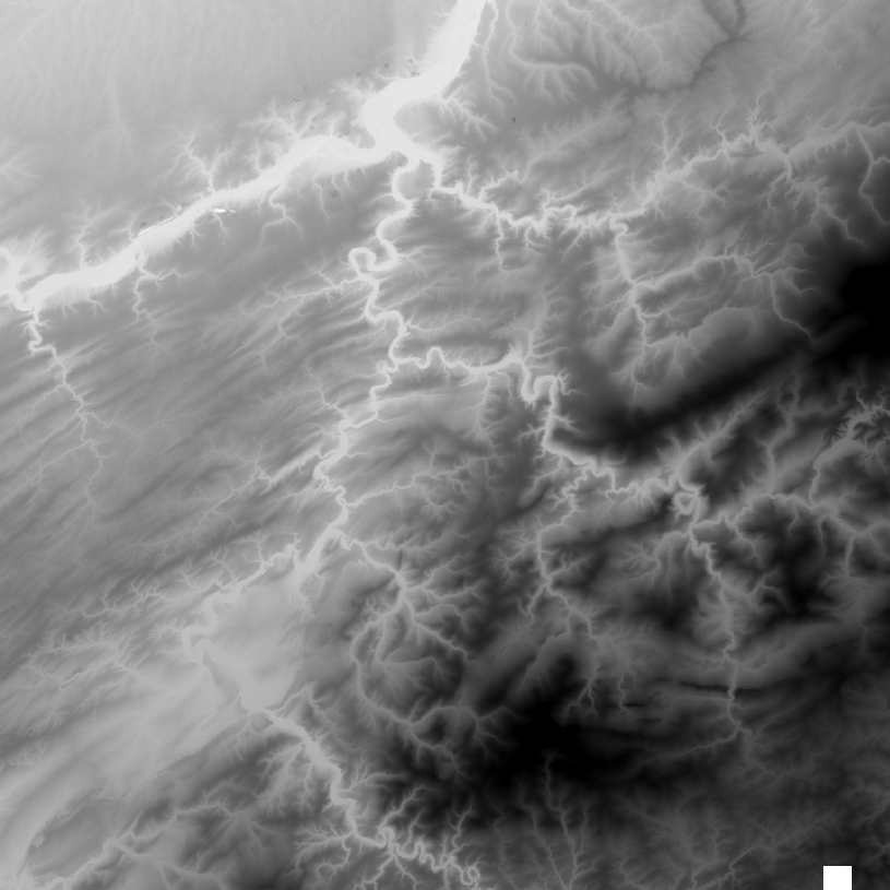
The DTM is a homogeneous and regular point grid indicating the height of the ground level in order to model its surface. The DTM 1m is achieved by interpolating in Lambert 2008 source data in Lambert 72 and at a 1m-resolution from the Flemish and Brussels regions, and by adding Lambert 2008 data at 1m-resolution from the Walloon Region. The DTM 5m has an additional source, namely drawn structure lines and points adapted during systematic and continuous update by photogrammetric surveys. The DTM 20m is obtained by resampling of the DTM 1m.
 geo.be Metadata Catalog