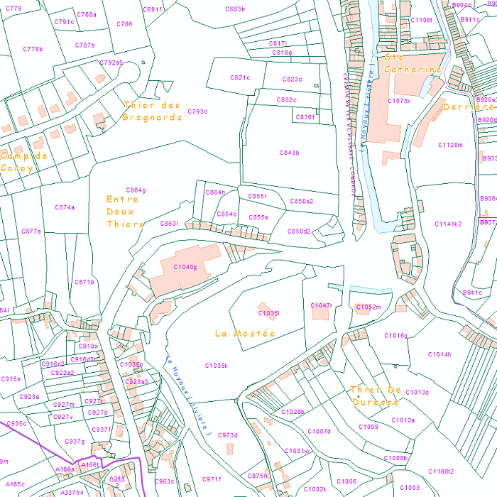
View service - Administrative units and Land register plan - current situation
Simple
Identification info
- Date (Creation)
- 2017-01-01T12:00:00
- Date (Revision)
- 2018-01-01
- Theme
-
- humanGeographicViewer
- Keywords
-
- Federal viewer
- Use constraints
- Other restrictions
- Other constraints
- The licence is fully available in French (https://finances.belgium.be/sites/default/files/Licence_plan_opendata_FR.PDF) or in Dutch (https://financien.belgium.be/sites/default/files/Licentie_plan_opendata_NL.PDF).
- Access constraints
- Other restrictions
- Other constraints
- No limitations on public access
- Service Type
- view
- Service Version
- 1.3.0
- Fees
- NONE
))
Coupled Resource
- Operation Name
- GetCapabilities
- Identifier
- 65132770-71dc-11eb-b166-3448ed25ad7c
Coupled Resource
- Operation Name
- GetCapabilities
- Identifier
- 63b98ade-71dc-11eb-8bf5-3448ed25ad7c
- Coupling Type
- Loose
Contains Operations
- Operation Name
- GetCapabilities
- Distributed Computing Platforms
- Web services
- Connect Point
-
Format : application/vnd.ogc.wms_xml
(
WWW:LINK-1.0-http--link
)
Format : application/vnd.ogc.wms_xml
Contains Operations
- Operation Name
- GetMap
- Distributed Computing Platforms
- Web services
- Connect Point
-
Format : image/png
(
WWW:LINK-1.0-http--link
)
Format : image/png
- Reference system identifier
- EPSG / ETRS89 / Belgian Lambert 2008 (EPSG:3812) / 8.6
- Reference system identifier
- EPSG / Belge 1972 / Belgian Lambert 72 (EPSG:31370) / 8.6
- Reference system identifier
- EPSG / ETRS89 (EPSG:4258) / 8.6
- Geometric object type
- Surface
- Distribution format
-
-
bmp
(
1.0
)
-
jpeg
(
1.0
)
-
tiff
(
1.0
)
-
png
(
1.0
)
-
gif
(
1.0
)
-
bmp
(
1.0
)
- Hierarchy level
- Service
- Other
- Webmap service
Domain consistency
- Name of measure
- INSPIRE Conformity
Conformance result
- Date (Publication)
- 2009-08-19
- Explanation
- The service described meets the technical requirements as defined by the Commission Regulation (EC) No 976/2009 of 19 October 2009
- Pass
- No
- File identifier
- 1bfe33a9-9fd5-47e4-85bd-d56072f9888e XML
- Metadata language
- English
- Character set
- UTF8
- Hierarchy level
- Service
- Hierarchy level name
- Webmap service
- Date stamp
- 2024-09-24T10:35:16
- Metadata standard name
- ISO 19115:2003/19139
- Metadata standard version
- 1.0
Overviews

Spatial extent
))
Provided by

 geo.be Metadata Catalog