quarterly
Type of resources
Available actions
Topics
INSPIRE themes
federalThemes
Keywords
Contact for the resource
Provided by
Years
Formats
Representation types
Update frequencies
status
Scale
-

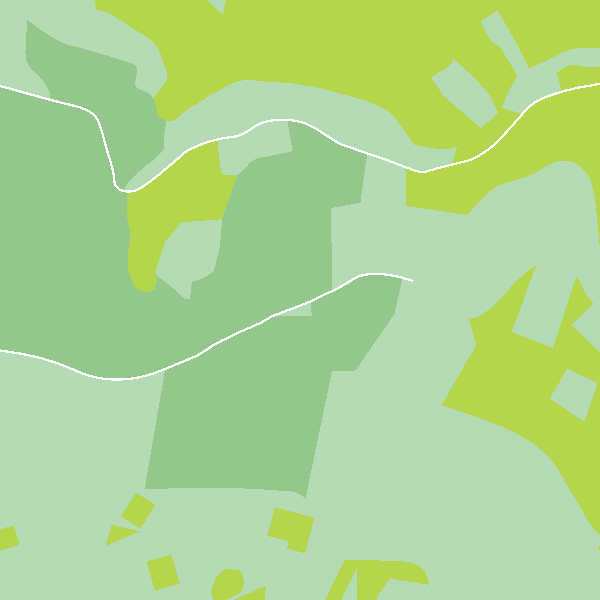
Top10Vector – Land cover and vegetation is the vector dataset of the land use of unbuilt land areas in Belgium. This data set includes three classes. First class: isolated vegetation. Second class: land cover zones. Third class: linear vegetation. This dataset can be downloaded via the link in 'Access'.
-

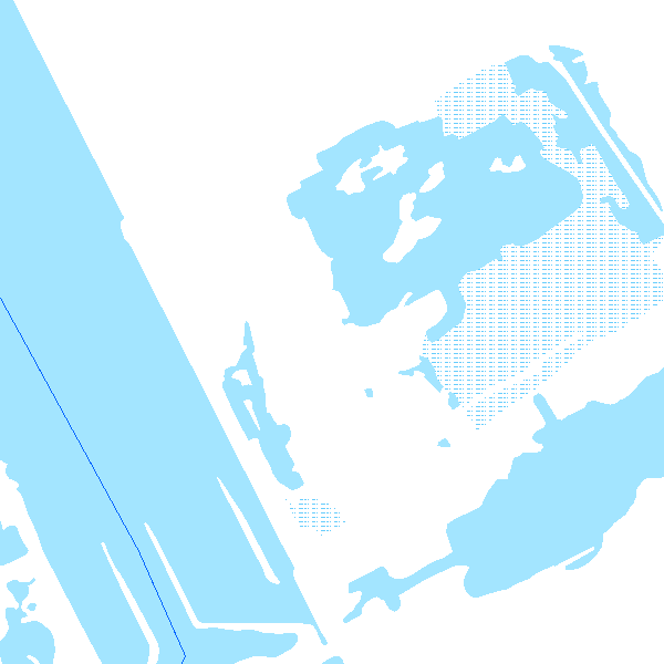
The entities included in the dataset represent the physical network in the sense of the Inspire European directive. The dataset comprises several classes and is in accordance with the INSPIRE specifications. The Wetland class represents poorly drained or periodically flooded portions of land, the soil of which is saturated with water but where vegetation is nevertheless able to develop. The StandingWater class represents flooded areas that are, nevertheless, completely surrounded by land.
 geo.be Metadata Catalog