 geo.be Metadata Catalog
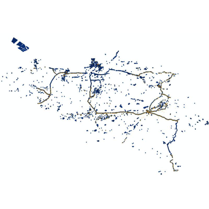
eTOD database (WMS)
Web service with currently available electronic terrain and obstacle data in Area 1 related to:
- Implementing Regulation (EU) No 2017/373 on, inter alia, the common requirements for air navigation service providers, as subsequently amended;
- Annex 15 to the Chicago Convention on International Civil Aviation;
- ICAO document 10066 PANS-AIM: Procedures for air navigation services, Aeronautical Information Management.
Simple
Identification info
- Date (Creation)
- 2020-11-30
- Date (Revision)
- 2026-06-24
- Identifier
- BE.NGI-IGN / fe78fd70-da6b-11eb-b56e-7478273ff935
Custodian
National Geographic Institute
-
Koen Haveneers
Kortenberglaan 115
,
Brussels
,
1000
,
Belgium
http://www.ngi.be
- Maintenance and update frequency
- As needed
- Keywords
-
- aviation obstacles, terrain model, eTOD, ADQ
- Use constraints
- Other restrictions
- Other constraints
- https://creativecommons.org/licenses/by/4.0/
- Access constraints
- Other restrictions
- Other constraints
- No limitations on public access
- Service Type
- view
- Description
- Belgium
N
S
E
W
))
Coupled Resource
- Operation Name
- GetCapabilities
- Identifier
- bc5418a7-bb6d-4d74-8af9-48fcae0bc299
- Coupling Type
- Tight
Contains Operations
- Reference system identifier
- EPSG:3035
- Reference system identifier
- EPSG:4258
- Reference system identifier
- EPSG:3857
- Reference system identifier
- EPSG:4326
- Reference system identifier
- EPSG:3812
- Reference system identifier
- EPSG:25831
- Reference system identifier
- EPSG:25832
- OnLine resource
-
View service
(
OGC:WMS
)
View service
- Hierarchy level
- Service
- Other
- service
Domain consistency
- Name of measure
- INSPIRE Conformity
Conformance result
- Date (Publication)
- 2009-08-19
- Explanation
- The service described does not meet the technical requirements as defined by the Commission Regulation (EC) No 976/2009 of 19 October 2009.
- Pass
- No
- File identifier
- fe78fd70-da6b-11eb-b56e-7478273ff935 XML
- Metadata language
- English
- Character set
- UTF8
- Hierarchy level
- Service
- Hierarchy level name
- Webmap Service
- Date stamp
- 2026-06-24T11:19:38
- Metadata standard name
- ISO 19115:2003/19139
- Metadata standard version
- 1.0
Point of contact
National Geographic Institute
-
Floor Van Damme
Kortenberglaan 115
,
Brussels
,
1000
,
Belgium
http://www.ngi.be
Overviews
Spatial extent
N
S
E
W
Provided by

Associated resources
Not available