 geo.be Metadata Catalog
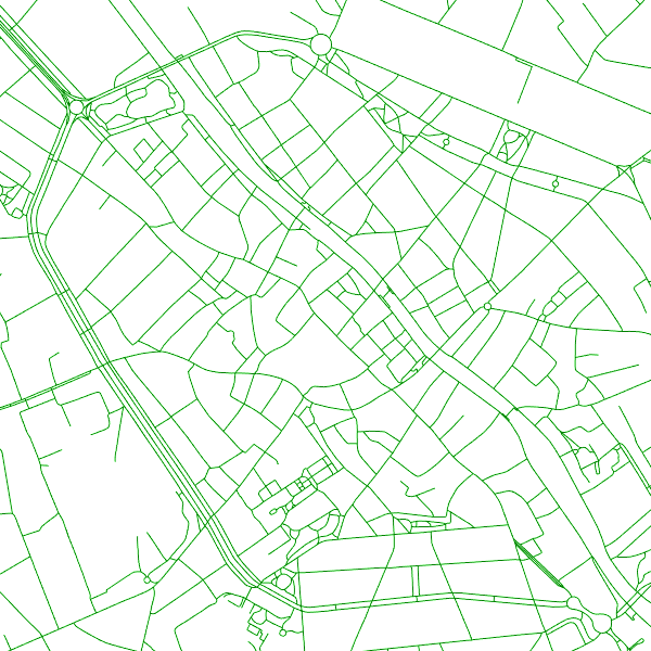
Road Transport Network
The entities included in the dataset represent the Belgian road transport network in the sense of the Inspire European directive. The dataset comprises several classes.
The RoadLink class represents, in a linear manner, all of the road links between each pair of dots for the network considered. The footpaths, cycle paths or carriageways that connect the pairs of dots correspond to as many entities in the class.
The RoadServiceArea class represents the sections of space devoted to auxiliary road transport functions, such as service stations or rest areas.
In addition to this are two classes without geometry. RoadWidth class describes in metres the width of each segment of the "road links" class. The "functional importance" class ranks the segments of the "road links" class by functional importance on the road transport network.
Simple
- Date (Publication)
- 2019-11-01
- Identifier
- BE.NGI-IGN / a9187022-0bf6-4e96-a787-25476d9f1173
- Status
- Completed
- Keywords
-
- street names
- Keywords
-
- HVD_cat_transport networks
- Use limitation
- https://creativecommons.org/licenses/by/4.0/
- Access constraints
- Other restrictions
- Other constraints
- No limitations on public access
- Use constraints
- Other restrictions
- Other constraints
- https://creativecommons.org/licenses/by/4.0/
- Spatial representation type
- Vector
- Denominator
- 10000
- Metadata language
- English
- Character set
- 8859 Part 15
- Topic category
-
- Transportation
- Description
- Belgium
))
- Unique resource identifier
- EPSG:3812
- Codespace
- EPSG
- Distribution format
-
-
GML
(
3.2.1
)
-
GML
(
3.2.1
)
- OnLine resource
-
INSPIRE WMS
(
OGC:WMS
)
View service
- OnLine resource
-
Service does not display good with Chrome. Use rather Mozilla or Explorer.
(
INSPIRE Atom
)
Service does not display good with Chrome. Use rather Mozilla or Explorer.
- OnLine resource
-
Direct access to the webshop
(
WWW:DOWNLOAD-1.0-http--download
)
Direct access to the webshop
- Hierarchy level
- Dataset
Domain consistency
- Name of measure
- INSPIRE Conformity
Conformance result
- Date (Publication)
- 2010-12-08
- Explanation
- The dataset described fills the technical requirements sustaining the interoperability of data sets and services, as stipulated in the Commission Regulation (EU) No 1089/2010 of 23 November 2010
- Pass
- Yes
- Statement
- The data have been collected in two different ways: on the one hand, by field survey, writing down the attribute data on mat-pale photographs, followed by the photogrammetric stereo restitution of the geometry in a CAD-file (with Lambert72 xyz-coordinates) and finally the topological cleaning up and the import of the attribute data in a 2D-database. On the other hand, by photogrammetric stereo restitution of the geometry in a CAD-file (with Lambert72 xyz-coordinates), followed by the import (on-site) of the attribute data in the CAD-files and finally the topological cleaning up in a 2D-database.During the dataloading into the new ITGI-model, the contents of the 2D-database have been mapped and converted into a database with Lambert2008-coordinates. The z-coordinate was recovered from the photogrammetric restitution's CAD-files or calculated on the basis of the DTM.
- Compliance code
- Yes
- Metadata language
- English
- Included with dataset
- Yes
- Feature types
- RA_RailwaySurface
- Feature types
- RA_RailwayTrackSegment
- File identifier
- a9187022-0bf6-4e96-a787-25476d9f1173 XML
- Metadata language
- English
- Character set
- UTF8
- Parent identifier
- 9dbefb96-806f-477d-98ed-604c2a695b5f 9dbefb96-806f-477d-98ed-604c2a695b5f
- Hierarchy level
- Dataset
- Date stamp
- 2026-02-03T11:18:20
- Metadata standard name
- ISO 19115:2003/19139
- Metadata standard version
- 1.0
Overviews
Spatial extent
Provided by
