 geo.be Metadata Catalog
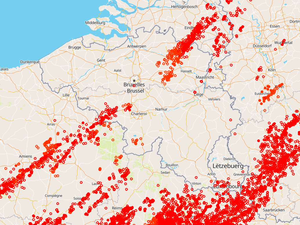
Belgisch bliksemlocatiesysteem (BELLS)
Système belge de localisation de la foudre (BELLS)
Belgisches Blitzortungssystem (BELLS)
Totaal aantal bliksemwaarnemingen, d.w.z. blikseminslagen tussen wolken en aarde (CG) en intra-/interwolkpulsen (IC) in België. BELLS-gegevens worden weergegeven in universele tijd! (lokale tijd winter = UT +1; lokale tijd zomer = UT + 2). Elk record bevat de volgende velden:
1. Netwerktype, 0 = LF, 1 = VHF-TOA, 2 = VHF-ITF, 3 = VLF
2. Jaar, 1970 tot 2032.
3. Maand, met januari als 1 en december als 12.
4. Dag van de maand, 1 tot 31.
5. Uur, 0 tot 23.
6. Minuut, 0 tot 59.
7. Seconde, 0 tot 60.
8. Nanoseconde, 0 tot 999999999.
9. Breedtegraad van de berekende locatie in decimale graden, tot op 4 decimalen nauwkeurig, -90,0 tot 90,0.
10. Lengtegraad van de berekende locatie in decimale graden, tot op 4 decimalen nauwkeurig, -180,0 tot 180,0.
11. Hoogte in meters, -4950 tot +60535. Dit veld is 0 als de hoogte niet in de bliksemgegevens is opgegeven.
12. De hoogteonzekerheid in meters. Dit veld is 0 als de hoogteonzekerheid niet in de bliksemgegevens is opgegeven.
13. Geschatte piekstroom in kiloampère, -9999 tot 9999.
14. Genormaliseerd vermogen VHF-bereik, -9999,0 tot 9999,0
15. Multipliciteit voor flitsgegevens (1 tot 99) of 0 voor blikseminslagen.
16. Aantal wolkenpulsen voor de bliksemregistratie. Dit veld is -1 als de bliksem het kenmerk voor het aantal wolkenpulsen niet bevatte.
17. Aantal sensoren dat aan de oplossing deelneemt, 2 tot 99.
18. Vrijheidsgraden bij het optimaliseren van de locatie, 0 tot 99.
19. De foutellipshoek als een peiling met de klok mee vanaf 0 graden noord, 0 tot 180,0 graden
20. De lengte van de halve lange as van de foutellips in kilometers, 0 tot 50,0 km.
21. De lengte van de halve korte as van de foutellips in kilometers, 0 tot 50,0 km.
22. Chi-kwadraatwaarde van locatieoptimalisatie, 0 tot 999,99
23. Stijgtijd van de golfvorm in microseconden, 0 tot 99,9
24. Piek-naar-nul-tijd van de golfvorm in microseconden, 0 tot 999,9
25. Maximale stijgsnelheid van de golfvorm in kA/usec (zal een negatieve waarde zijn als de ontlading negatief is), -999,9 tot 999,9
26. Wolkindicator, 1 bij ontlading van wolk naar wolk, 0 bij ontlading van wolk naar aarde
27. Hoekindicator, 1 als sensorgegevens over de hoek zijn gebruikt om de positie te berekenen, anders 0
28. Signaalindicator, 1 als sensorsignaaldata wordt gebruikt om de positie te berekenen, anders 0
29. Timingindicator, 1 als sensortimingdata wordt gebruikt om de positie te berekenen, anders 0
30. Flash-ID, een unieke gehele waarde die de flashgroep identificeert waartoe een blikseminslag behoort, of 0 indien niet ingesteld.
Dit product is nog niet openbaar verkrijgbaar.
Observations totales de la foudre, c'est-à-dire les coups nuage-sol (CG) et les impulsions intra/inter-nuages (IC), en Belgique. Les données BELLS sont fournies en temps universel ! (heure locale en hiver = UT +1 ; heure locale en été = UT + 2). Chaque enregistrement contient les champs suivants :
1. Type de réseau, 0 = LF, 1 = VHF-TOA, 2 = VHF-ITF, 3 = VLF
2. Année, de 1970 à 2032.
3. Mois, janvier étant 1 et décembre 12.
4. Jour du mois, de 1 à 31.
5. Heure, de 0 à 23.
6. Minute, 0 à 59.
7. Seconde, 0 à 60.
8. Nanoseconde, 0 à 999999999.
9. Latitude de l'emplacement calculé en degrés décimaux, à 4 décimales près, -90,0 à 90,0.
10. Longitude de l'emplacement calculé en degrés décimaux, à 4 décimales près, de -180,0 à 180,0.
11. Altitude en mètres, de -4950 à +60535. Ce champ sera égal à 0 si l'altitude n'est pas fournie dans les données sur la foudre.
12. Incertitude de l'altitude en mètres. Ce champ sera égal à 0 si l'incertitude de l'altitude n'est pas fournie dans les données sur la foudre.
13. Courant de crête estimé en kiloampères, de -9999 à 9999.
14. Puissance normalisée de la gamme VHF, de -9999,0 à 9999,0
15. Multiplicité pour les données de flash (1 à 99) ou 0 pour les coups.
16. Nombre d'impulsions nuageuses pour l'enregistrement de foudre. Ce champ sera -1 si la foudre ne contenait pas l'attribut de nombre d'impulsions nuageuses.
17. Nombre de capteurs participant à la solution, 2 à 99.
18. Degrés de liberté lors de l'optimisation de l'emplacement, 0 à 99.
19. Angle de l'ellipse d'erreur en tant que relèvement dans le sens horaire à partir de 0 degré nord, 0 à 180,0 degrés
20. Longueur du demi-grand axe de l'ellipse d'erreur en kilomètres, 0 à 50,0 km.
21. Longueur du demi-petit axe de l'ellipse d'erreur en kilomètres, 0 à 50,0 km.
22. Valeur chi carré issue de l'optimisation de l'emplacement, de 0 à 999,99
23. Temps de montée de la forme d'onde en microsecondes, de 0 à 99,9
24. Temps crête à zéro de la forme d'onde en microsecondes, de 0 à 999,9
25. Taux de montée maximal de la forme d'onde en kA/usec (le taux sera négatif si la décharge est négative), de -999,9 à 999,9
26. Indicateur de nuage, 1 pour une décharge nuage-nuage, 0 pour une décharge nuage-sol
27. Indicateur d'angle, 1 si les données d'angle du capteur sont utilisées pour calculer la position, 0 dans le cas contraire
28. Indicateur de signal, 1 si les données du signal du capteur sont utilisées pour calculer la position, 0 sinon
29. Indicateur de synchronisation, 1 si les données de synchronisation du capteur sont utilisées pour calculer la position, 0 sinon
30. ID de flash, une valeur entière unique identifiant le groupe de flash auquel appartient un coup ou 0 si non défini.
Ce produit n'est pas encore disponible au public.
Gesamtzahl der Blitzbeobachtungen, d. h. Wolke-Boden-Blitze (CG) und Intra-/Inter-Wolken-Impulse (IC) in Belgien. Die BELLS-Daten werden in Weltzeit angegeben! (Ortszeit Winter = UT +1; Ortszeit Sommer = UT + 2). Jeder Datensatz enthält folgende Felder:
1. Netzwerktyp, 0 = LF, 1 = VHF-TOA, 2 = VHF-ITF, 3 = VLF
2. Jahr, 1970 bis 2032.
3. Monat, wobei Januar als 1 und Dezember als 12 bezeichnet wird.
4. Tag des Monats, 1 bis 31.
5. Stunde, 0 bis 23.
6. Minute, 0 bis 59.
7. Sekunde, 0 bis 60.
8. Nanosekunde, 0 bis 999999999.
9. Breitengrad des berechneten Standorts in Dezimalgrad, auf 4 Dezimalstellen gerundet, -90,0 bis 90,0.
10. Längengrad des berechneten Standorts in Dezimalgrad, auf 4 Dezimalstellen gerundet, -180,0 bis 180,0.
11. Höhe in Metern, -4950 bis +60535. Dieses Feld ist 0, wenn die Höhe in den Blitzdaten nicht angegeben ist.
12. Die Höhenunsicherheit in Metern. Dieses Feld ist 0, wenn die Höhenunsicherheit in den Blitzdaten nicht angegeben ist.
13. Geschätzter Spitzenstrom in Kiloampere, -9999 bis 9999.
14. Normalisierte Leistung im VHF-Bereich, -9999,0 bis 9999,0
15. Multiplizität für Blitzdaten (1 bis 99) oder 0 für Blitzeinschläge.
16. Wolkenimpulszahl für die Blitzaufzeichnung. Dieses Feld hat den Wert -1, wenn der Blitz das Attribut „Wolkenimpulszahl” nicht enthält.
17. Anzahl der an der Lösung beteiligten Sensoren, 2 bis 99.
18. Freiheitsgrade bei der Standortoptimierung, 0 bis 99.
19. Der Fehlerellipsenwinkel als Peilung im Uhrzeigersinn von 0 Grad Nord, 0 bis 180,0 Grad
20. Die Länge der großen Halbachse der Fehlerellipse in Kilometern, 0 bis 50,0 km.
21. Die Länge der kleinen Halbachse der Fehlerellipse in Kilometern, 0 bis 50,0 km.
22. Chi-Quadrat-Wert aus der Standortoptimierung, 0 bis 999,99
23. Anstiegszeit der Wellenform in Mikrosekunden, 0 bis 99,9
24. Spitze-zu-Null-Zeit der Wellenform in Mikrosekunden, 0 bis 999,9
25. Maximale Anstiegsgeschwindigkeit der Wellenform in kA/usec (bei negativer Entladung negativer Wert), -999,9 bis 999,9
26. Wolkenanzeige, 1 bei Entladung zwischen Wolken, 0 bei Entladung zwischen Wolke und Boden
27. Winkelanzeige, 1, wenn Sensordaten zur Positionsberechnung verwendet wurden, andernfalls 0
28. Signalanzeige, 1, wenn Sensorsignaldaten zur Positionsberechnung verwendet werden, andernfalls 0
29. Zeitanzeige, 1, wenn Sensortimingdaten zur Positionsberechnung verwendet werden, andernfalls 0
30. Blitz-ID, ein eindeutiger ganzzahliger Wert, der die Blitzgruppe identifiziert, zu der ein Blitzschlag gehört, oder 0, wenn nicht festgelegt.
Dieses Produkt ist noch nicht öffentlich erhältlich.
Simple
-
Date (Révision)Datum (revisie)Datum (Überarbeitung)
- 2025-10-13
-
IdentificateurIdentifierIdentifikator
- RMI-be / lightning
-
EtatStatusBearbeitungsstatus
-
Mise à jour continuecontinu geactualiseerdKontinuierliche Aktualisierung
- GEMET - INSPIRE themes, version 1.0
-
-
Atmosferische omstandighedenConditions atmosphériquesAtmosphärische Bedingungen
-
- Keywords
-
- federal government
- observation
- lightning
- Spatial scope
-
Contraintes d'accès(Juridische) toegangsrestrictieZugriffseinschränkungen
-
Autres restrictionsandersBenutzerdeifinierte Einschränkungen
-
Overige beperkingenAutres contraintesAndere Einschränkungen
-
Geen beperkingen op openbare toegangPas de restrictions concernant l'accès publicÖffentliche Zugang nicht beschränkt
-
Contraintes d'utilisation(Juridische) gebruiksbeperkingNutzungseinschränkungen
-
Autres restrictionsandersBenutzerdeifinierte Einschränkungen
-
Restrictions de manipulationVeiligheidsrestrictiesSicherheitseinstufung
-
Non classifiévrij toegankelijkUnbeschränkt
-
Type de représentation spatialeRuimtelijk schemaRäumliche Darstellungsart
-
VecteurvectorVektor
-
LangueTaalSprache
- English
-
Catégorie ISOOnderwerpThematik
-
-
Climatologie/Météorologie/Atmosphèreklimatologie, meteorologie atmosfeerAtmosphäre
-
))
- Begin date
- 1998-01-01T00:00:00
- Unique resource identifier
- EPSG:4258
-
Format (encodage)Distributie formaatAbgabeformat
-
-
Text/plain
(
1.0
)
-
Text/plain
(
1.0
)
-
Ressource en ligneOnLine bronnenOnline
-
KMI open data portaal Portail de données ouvertes de l'IRM KMI-Portal für offene Daten
(
WWW:LINK-1.0-http--link
)
KMI open data portaalPortail de données ouvertes de l'IRMKMI-Portal für offene Daten
-
NiveauNiveau kwaliteitsbeschrijvingBezugsebene
-
Jeu de donnéesdatasetDatenbestand
- Other
- dataset
Cohérence du domaine de valeurs
Domain consistentie
Konsistenz des Wertebereichs
- Name of measure
- INSPIRE Conformity
Résultat de conformité
Resultaat conformiteit met de specificatie
Konformitätsergebnis
-
Date (Publication)Datum (publicatie)Datum (Publikation)
- 2010-12-08
- Explanation
- See the referenced specification
-
Degré de conformitéIndicatie van conformiteit met de specificatieBestanden
- No
-
Algemene beschrijving herkomstGénéralités sur la provenanceErläuterung
-
BELLS is een laagfrequent grondgebonden bliksemnetwerk. De bliksemsensoren en centrale processor zijn gebaseerd op technologie van Vaisala. Alleen bliksemregistraties die aan bepaalde kwaliteitscriteria voldoen, zoals de lengte van de halve lange as en het minimumaantal deelnemende sensoren, worden opgenomen.BELLS est un réseau terrestre de détection de la foudre à basse fréquence. Les capteurs de foudre et le processeur central sont basés sur la technologie Vaisala. Seuls les enregistrements de foudre qui répondent à certains critères de qualité, par exemple la longueur du demi-grand axe, le nombre minimum de capteurs participants, sont inclus.BELLS ist ein bodengestütztes Blitznetzwerk für niedrige Frequenzen. Die Blitzsensoren und der Zentralprozessor basieren auf der Technologie von Vaisala. Es werden nur Blitzaufzeichnungen berücksichtigt, die bestimmte Qualitätskriterien erfüllen, z. B. Länge der großen Halbachse, Mindestanzahl der beteiligten Sensoren.
-
Identifiant de la ficheMetadata IDMetadatensatzidentifikator
- RMI_DATASET_LIGHTNING XML
-
LangueTaalSprache
- English
-
Type de ressourceHierarchisch niveauHierarchieebene
-
Jeu de donnéesdatasetDatenbestand
-
Date des métadonnéesMetadata datumDatum
- 2025-10-13
Overviews
Spatial extent
Provided by
