Top25Map
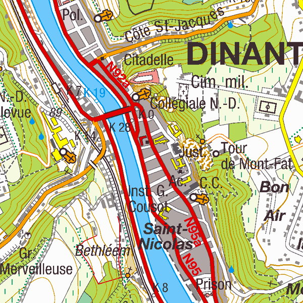
Top25Map is a digital version of the NGI’s topographic  cartography on a scale of 1:25 000. These images result from the symbolisation of the objects and themes which are present in the  topo-geographic inventory of the Belgian territory (ITGI), which  is built and kept up-to-date by the NGI. Top25Map contains all usual themes of the NGI’s cartographic products (land use, transport,  hydrography, buildings and constructions, relief,…), as well as the  map  lettering and the toponyms. The Top25Map cartography  is appropriate to hiking.
                  
                  Simple
- Date (Creation)
- 2016-09-15
- Date (Revision)
- 2016-09-15
- Identifier
- BE.NGI-IGN / 95d18b40-808e-11e9-a668-482ae30f98d9
- Status
- Completed
                          
                            
                            Custodian


                                National Geographic  Institute
                              
                              -
                              
                                
                                Frédérique Spitaels


                                Kortenberglaan 115
                              
                              ,
                              
                                
                                Brussels
                              
                              ,
                              
                                
                                1000
                              
                              ,
                              
                                
                                Belgium


                            http://www.ngi.be
                          
                        - Maintenance and update frequency
- Quarterly
- Use limitation
- https://creativecommons.org/licenses/by/4.0/
- Access constraints
- Other restrictions
- Other constraints
- No limitations on public access
- Use constraints
- Other restrictions
- Other constraints
- https://creativecommons.org/licenses/by/4.0/
- Spatial representation type
- Grid
- Distance
- 1 m
- Metadata language
- Deutsch
- Metadata language
- Nederlands; Vlaams
- Metadata language
- Français
- Character set
- 8859 Part 15
- Topic category
- 
                            - Transportation
- Structure
- Boundaries
 
- Description
- Belgium
                            
                            N


                            S


                            E


                            W
                          
                          )) 
                        - Unique resource identifier
- EPSG:31370
- Codespace
- EPSG
- Unique resource identifier
- EPSG:3812
- Codespace
- EPSG
- Distribution format
- 
                            - 
                                TIFF
                                (


                                )
                                
 
- 
                                TIFF
                                (


                                )
                                
- OnLine resource
- 


                                View service
                              
                            
                            (


                                OGC:WMS
                              
                            
                            )
                            View service 
- OnLine resource
- https://ac.ngi.be/catalogue/getopenaccess/ngi-specs/Top25Map_ProductSpecification_NL.pdf ( WWW:LINK-1.0-http--link )
- OnLine resource
- 


                                https://ac.ngi.be/catalogue/order/ngi-standard/Rasterdata/Top25Map?language=en
                              
                            
                            Direct access to the webshop 
- OnLine resource
- 


                                https://shop.ngi.be/nl/bekijk-op-de-kaart/?x=658521.5&y=633841.5&r=417.44&c=topo_25
                              
                            
                            Order of the paper resource 
- Hierarchy level
- Dataset
Domain consistency
- Name of measure
- INSPIRE Conformity
Conformance result
- Date (Publication)
- 2010-12-08
- Explanation
- The dataset’s compliance with the technical requirements as defined by the Commission Regulation (EU) No 1089/2010 of 23 November 2010 has not been checked
- Statement
- Automatic symbolisation of the Topo-geographic Inventory of the territory (reference database, in its generalised version) of the National Geographic Institute.
- File identifier
- 95cfdd8f-808e-11e9-a3ad-482ae30f98d9 XML
- Metadata language
- English
- Character set
- UTF8
- Hierarchy level
- Static map
- Hierarchy level name
- staticMap
- Date stamp
- 2024-07-30T09:43:34
- Metadata standard name
- ISO 19115:2003/19139
- Metadata standard version
- 1.0
                          
                            
                            Point of contact


                                National Geographic  Institute
                              
                              -
                              
                                
                                Floor Van Damme


                                Kortenberglaan 115
                              
                              ,
                              
                                
                                Brussels
                              
                              ,
                              
                                
                                1000
                              
                              ,
                              
                                
                                Belgium


                            http://www.ngi.be
                          
                        Overviews
 
                Spatial extent
                      
                      N


                      S


                      E


                      W
                    
                    )) 
                  Provided by
 
                Associated resources
Not available
                 geo.be Metadata Catalog
                  geo.be Metadata Catalog