geo.be Metadata Catalog
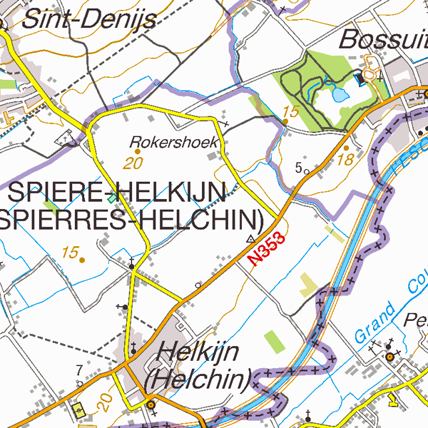
TopoMaps
TopoMaps is a WMS allowing visualizing all images corresponding to the standard topographic cartographies made by the National Geographic Institute. As a result, it allows viewing cartographies on a 1:25 000 scale (Top25Map), on a 1:50 000 scale (Top50Map), on a 1:100 000 scale (Landcover100Map) and on a 1:250 000 scale (Top250Map), as well as the administrative map (AdminMap).
With the exception of the administrative map, the cartographies show all themes of the topo-geographic inventory of the Belgian territory (ITGI) which is made and kept up-to-date by the National Geographic Institute: land use, transport, hydrography, buildings and constructions, relief, map lettering and toponyms.
Simple
Identification info
- Date (Creation)
- 2019-06-15
- Date (Revision)
- 2024-09-30
- Identifier
- BE.NGI-IGN / ee9d37a1-8148-11e9-9ad5-482ae30f98d9
- Annex D4 of the European Commission Regulation 1205/2008
- Keywords
-
- Federal viewer
- Use limitation
- •The custodian of the resource holds the rights of property (including the rights of intellectual property) to the geographic files •The custodian grants the user the right to use the data for his internal use. •Commercial use of the data under any form is strictly forbidden •Custodian’s name must be mentioned each time the data are being used publically.
- Access constraints
- Other restrictions
- Other constraints
- No limitations on public access
- Use constraints
- Other restrictions
- Other constraints
- •The custodian of the resource holds the rights of property (including the rights of intellectual property) to the geographic files •The custodian grants the user the right to use the data for his internal use. •Commercial use of the data under any form is strictly forbidden •Custodian’s name must be mentioned each time the data are being used publically.
- Service Type
- view
- Description
- Belgium
))
Coupled Resource
- Operation Name
- GetCapabilities
- Identifier
- 9427abcf-808e-11e9-bc33-482ae30f98d9
Coupled Resource
- Operation Name
- GetCapabilities
- Identifier
- 9490a6cf-808e-11e9-9847-482ae30f98d9
Coupled Resource
- Operation Name
- GetCapabilities
- Identifier
- 94f81b30-808e-11e9-b09a-482ae30f98d9
Coupled Resource
- Operation Name
- GetCapabilities
- Identifier
- 95cfdd8f-808e-11e9-a3ad-482ae30f98d9
Coupled Resource
- Operation Name
- GetCapabilities
- Identifier
- 9636dcc0-808e-11e9-a657-482ae30f98d9
- Coupling Type
- Tight
Contains Operations
- Operation Name
- GetCapabilities
- Distributed Computing Platforms
- Web services
- Connect Point
- https://wms.ngi.be/inspire/topomaps/service ( OGC:WMS )
- Reference system identifier
- EPSG:3035
- Reference system identifier
- EPSG:4258
- Reference system identifier
- EPSG:3857
- Reference system identifier
- EPSG:4326
- Reference system identifier
- EPSG:3812
- OnLine resource
-
View service
(
OGC:WMS
)
View service
- Hierarchy level
- Service
- Other
- service
Domain consistency
- Name of measure
- INSPIRE Conformity
Conformance result
- Date (Publication)
- 2009-08-19
- Explanation
- The service described meets the technical requirements as defined by the Commission Regulation (EC) No 976/2009 of 19 October 2009
- Pass
- Yes
- File identifier
- ee9d37a1-8148-11e9-9ad5-482ae30f98d9 XML
- Metadata language
- English
- Character set
- UTF8
- Hierarchy level
- Service
- Hierarchy level name
- Webmap Service
- Date stamp
- 2026-01-27T13:44:48
- Metadata standard name
- ISO 19115:2003/19139
- Metadata standard version
- 1.0
Overviews
Spatial extent
Provided by