 geo.be Metadata Catalog
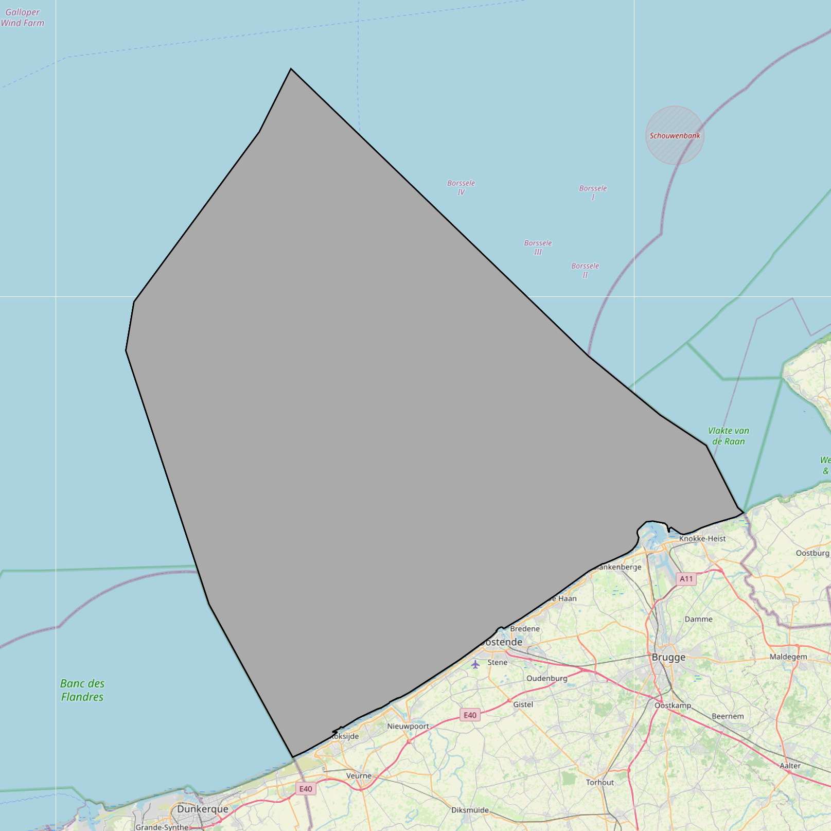
Scientific research, recreation, radars and masts zones in the Belgian Part of the North Sea
Simple
- Date (Creation)
- 2021-11-18
- Date (Revision)
- 2024-06-06
- Date (Publication)
- 2026-05-13
- Date (Creation)
- 2016-05-19
- Unique resource identifier
- https://doi.org/10.24417/a2780436-e65b-47a8-8f93-212e600717be
- Identifier
-
http://metadata.naturalsciences.be
/
a2780436-e65b-47a8-8f93-212e600717be
- Date
- Other citation details
- This dataset is composed of the following sources: (1) MSP 2014-2020 Scientific research, recreation, radars and masts zones in the Belgian Part of the North Sea. (2) MSP 2020-2026 Scientific research, recreation, radars and masts zones in the Belgian Part of the North Sea. (3) SWAP (n.d.). MarineAtlas website.MarineAtlas website. (4) Scientific research, recreation, radars and masts zones in the Belgian Part of the North Sea.
https://odnature.naturalsciences.be/
https://www.bmdc.be
- Theme
-
- Marine Spatial Plan
- Federal government
- Reporting INSPIRE
- Area management/restriction/regulation zones and reporting units
- Use constraints
- Other restrictions
- Other constraints
- No conditions apply to access and use
- Other constraints
- https://creativecommons.org/licenses/by/4.0/
- Access constraints
- Other restrictions
- Other constraints
- No limitations on public access.
- Use limitation
- No conditions apply to use.
- Classification
- Unclassified
- Spatial representation type
- Vector
- Metadata language
- English
- Topic category
-
- Oceans
- Planning cadastre
- Utilities communication
))
- Extent type code
- Yes
- Date
- Unique resource identifier
- North Sea
- gml32:beginPosition
- 2014-01-01
- Reference system identifier
- http://www.opengis.net/def/crs/EPSG/0/4258
- Distribution format
-
-
application/xml
(
Unknown
)
-
text/html
(
Unknown
)
-
application/xml
(
Unknown
)
Distributor
https://www.bmdc.be
- Name
- application/xml
- Version
- Unknown
- Transfer size
- 0.25107
- OnLine resource
-
imsp:bmsp_research_recreation_radars_masts_zone
(
OGC:WMS
)
A WMS service to view a map
Distributor
https://www.bmdc.be
- Name
- application/xml
- Version
- Unknown
- Transfer size
- 0.115177
- OnLine resource
-
imsp:bmsp_research_recreation_radars_masts_zone
(
OGC:WFS
)
A WFS service to download
Distributor
https://www.bmdc.be
- Name
- application/xml
- Version
- Unknown
- Transfer size
- 0.257987
- OnLine resource
-
imsp19:bmsp_research_recreation_radars_masts_zone
(
OGC:WMS
)
A WMS service to view a map
Distributor
https://www.bmdc.be
- Name
- application/xml
- Version
- Unknown
- Transfer size
- 0.119739
- OnLine resource
-
imsp19:bmsp_research_recreation_radars_masts_zone
(
OGC:WFS
)
A WFS service to download
Distributor
https://www.bmdc.be
- Name
- text/html
- Version
- Unknown
- Transfer size
- 0.008877
- OnLine resource
-
MarineAtlas website. SWAP
(
WWW:LINK-1.0-http--link
)
An HTTP link to view information
- OnLine resource
- Digital Object Identifier (DOI) ( DOI )
- Hierarchy level
- Dataset
Conformance result
- Date (Publication)
- 2010-12-08
- Explanation
- See the referenced specification
- Pass
- Yes
- Statement
- Dataset is quality assured. Dataset corresponds to a digitized version of the information published in the Belgian official gazette ("Belgisch staatsblad/Moniteur belge"). Only the information published in the official gazette has legal validity.
- File identifier
- a2780436-e65b-47a8-8f93-212e600717be XML
- Metadata language
- English
- Character set
- UTF8
- Hierarchy level
- Dataset
- Date stamp
- 2026-05-13T15:29:55.363Z
- Metadata standard name
- Geographic information -- Metadata
- Metadata standard version
- ISO 19115:2003/19139
Overviews
Spatial extent
Provided by
