 geo.be Metadata Catalog
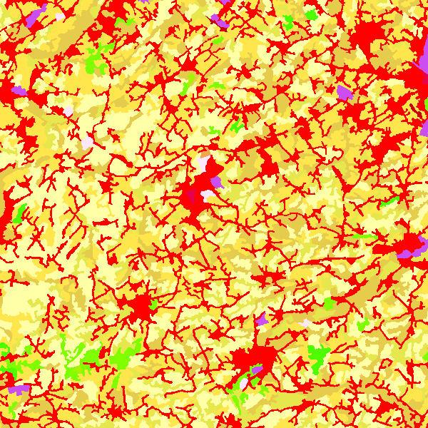
CORINE Land Cover - Belgium (WMS)
CORINE Land Cover Belgium WMS is an INSPIRE compliant WMS service which represents the land use in Belgium for the years 2006, 2012 and 2018. The polygons are classified in 32 classes from CORINE Land Cover’s classes which are present in Belgium. The minimum map unit is 25 ha. The conceptual scale is 1:100 000. The data set also contains a polygon layer which represent the land use modifications of more than 5 ha between 2006 and 2012 and between 2012 and 2018.
Simple
Identification info
- Date (Publication)
- 2014-07-08
- Identifier
- BE.NGI-IGN / 9e1aad73-ec18-4f2a-b161-0e31bbd4410d
Custodian
National Geographic Institute
Kortenberglaan 115
,
Brussels
,
1000
,
Belgium
http://www.ngi.be
- Annex D4 of the European Commission Regulation 1205/2008
- Keywords
-
- Keywords
-
- Federal viewer
- Use limitation
- https://creativecommons.org/licenses/by/4.0/
- Access constraints
- Other restrictions
- Other constraints
- No limitations on public access
- Use constraints
- Other restrictions
- Other constraints
- https://creativecommons.org/licenses/by/4.0/
- Service Type
- view
- Description
- Belgium
N
S
E
W
))
Coupled Resource
- Operation Name
- GetCapabilities
- Identifier
- bcd19aa9-c320-4116-971b-6e4376137f13
Coupled Resource
- Operation Name
- GetCapabilities
- Identifier
- ad1ad903-f45d-43b0-8ced-d3c0e376efee
- Coupling Type
- Tight
Contains Operations
- Operation Name
- GetCapabilities
- Distributed Computing Platforms
- Web services
- Connect Point
- https://data.geo.be/ws/clc/wms?request=getcapabilities&service=wms ( OGC:WMS )
- Reference system identifier
- EPSG:3035
- Reference system identifier
- EPSG:4258
- Reference system identifier
- EPSG:3857
- Reference system identifier
- EPSG:4326
- Reference system identifier
- EPSG:3812
- OnLine resource
-
View service
(
OGC:WMS
)
View service
- Hierarchy level
- Service
- Other
- Webmap Service
Domain consistency
- Name of measure
- INSPIRE Conformity
Conformance result
- Date (Publication)
- 2009-08-19
- Explanation
- The service described meets the technical requirements as defined by the Commission Regulation (EC) No 976/2009 of 19 October 2009
- Pass
- Yes
- File identifier
- 9e1aad73-ec18-4f2a-b161-0e31bbd4410d XML
- Metadata language
- English
- Character set
- UTF8
- Hierarchy level
- Service
- Hierarchy level name
- Wembap service
- Date stamp
- 2026-05-12T15:30:53
- Metadata standard name
- ISO 19115:2003/19139
- Metadata standard version
- 1.0
Point of contact
National Geographic Institute
-
Floor Van Damme
Kortenberglaan 115
,
Brussels
,
1000
,
Belgium
http://www.ngi.be
Overviews
Spatial extent
N
S
E
W
Provided by

Associated resources
Not available