 geo.be Metadata Catalog
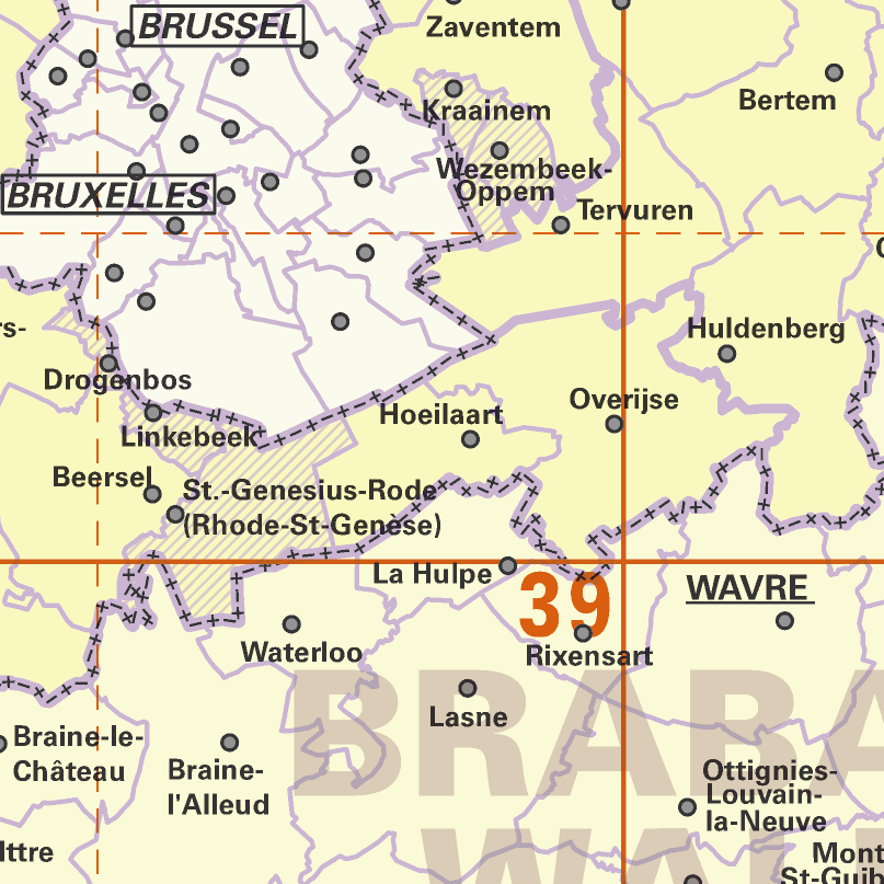
AdminMap
AdminMap is the digital version of the administrative map. Two versions exist: the most complete one on the scale of 1:300 000 and a simplified version on the scale of 1:500 000. These maps show the different administrative units on the Belgian territory, from the federal State to the center of the districts for the 1:500 000. The map also shows the map grid of the National Geographic Institute. An index allows localizing the different units. The index also contains information on the linguistic statutes and on the postal codes.
Simple
- Date (Creation)
- 2010-11-08
- Date (Revision)
- 2025-06-04
- Identifier
- BE.NGI-IGN / 9427abcf-808e-11e9-bc33-482ae30f98d9
- Status
- Completed
Custodian
National Geographic Institute
-
Rutger Dujardin
Kortenberglaan 115
,
Brussels
,
1000
,
Belgium
http://www.ngi.be
- Maintenance and update frequency
- As needed
- Use limitation
- https://creativecommons.org/licenses/by/4.0/
- Access constraints
- Other restrictions
- Other constraints
- No limitations on public access
- Use constraints
- Other restrictions
- Other constraints
- https://creativecommons.org/licenses/by/4.0/
- Spatial representation type
- Grid
- Distance
- 20 m
- Distance
- 33.33 m
- Metadata language
- Deutsch
- Metadata language
- Nederlands; Vlaams
- Metadata language
- Français
- Character set
- 8859 Part 15
- Topic category
-
- Boundaries
- Description
- Belgium
N
S
E
W
))
- Unique resource identifier
- EPSG:3812
- Codespace
- EPSG
- Distribution format
-
-
TIFF
(
)
-
TIFF
(
)
- OnLine resource
-
View service
(
OGC:WMS
)
View service
- OnLine resource
- AdminMap 300 K ( WWW:DOWNLOAD-1.0-http--download )
- OnLine resource
- AdminMap 500k ( WWW:DOWNLOAD-1.0-http--download )
- Hierarchy level
- Dataset
Domain consistency
- Name of measure
- INSPIRE Conformity
Conformance result
- Date (Publication)
- 2010-12-08
- Explanation
- The dataset’s compliance with the technical requirements as defined by the Commission Regulation (EU) No 1089/2010 of 23 November 2010 has not been checked
- Statement
- AdminMap is made by symbolisation of the NGI’s administrative reference data.
- File identifier
- 9427abcf-808e-11e9-bc33-482ae30f98d9 XML
- Metadata language
- English
- Character set
- UTF8
- Hierarchy level
- Static map
- Hierarchy level name
- staticMap
- Date stamp
- 2026-03-18T15:46:09
- Metadata standard name
- ISO 19115:2003/19139
- Metadata standard version
- 1.0
Point of contact
National Geographic Institute
-
Floor Van Damme
Kortenberglaan 115
,
Brussels
,
1000
,
Belgium
http://www.ngi.be
Overviews
Spatial extent
N
S
E
W
Provided by

Associated resources
Not available