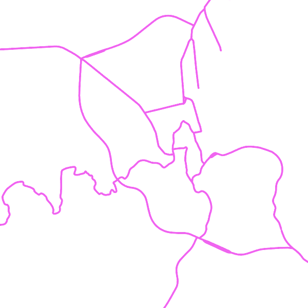
Water Transport Network
The entities included in dataset represent the Belgian waterway transport network in the sense of the Inspire European directive. The dataset comprises several classes and is in accordance with the INSPIRE specifications.
The class represents, in a linear manner, all of the waterway links between each pair of dots for the network considered.
In addition to this is one class without geometry. The RestrictionForWaterCehicles class specifies for each segment the maximum tonnage of the building using the segment.
Simple
- Date (Revision)
- 2017-03-16
- Identifier
-
BE.NGI-IGN
/
b10a532e-832d-4f2c-8aa9-d2baa91201fd
- Purpose
- Top10Vector est la série de données vectorielles qui contient les données vectorielles topogéographiques de l’IGN les plus précises géométriquement et les plus détaillées sémantiquement. Les données proviennent de l’inventaire topogéographique du territoire belge (ITGI), qui est élaboré et mis à jour par l’Institut géographique national. La série de données comporte 37 classes d’objets groupées en 8 thèmes : réseau routier, réseau ferroviaire, hydrographie, réseau haute tension, constructions, occupation du sol et végétation, relief local et zones particulières. La géométrie des données de tous ces thèmes est décrite par des coordonnées x,y,z. Top10Vector est disponible pour l’ensemble du territoire belge et peut être livré en ESRI File Geodatabase, en shapefiles ou comme fichiers gml. Top10Vector is een vectordataset die de meest geometrisch nauwkeurige en semantisch gedetailleerde topogeografische vectordata van het NGI bevat. De gegevens zijn afkomstig van de topogeografische inventaris van het Belgische grondgebied (ITGI) die door het Nationaal Geografisch Instituut wordt opgebouwd en bijgehouden. De dataset bevat 37 objectklassen, gegroepeerd in acht thema’s: wegennet, spoorwegnet, hydrografie, hoogspanningsnet, constructies, bodembedekking en vegetatie, lokaal reliëf en bijzondere zones. De geometrie van de gegevens van al deze thema’s wordt beschreven door x,y,z-coördinaten. Top10Vector is beschikbaar voor het volledige Belgische grondgebied en kan worden aangeleverd onder de vorm van een ESRI File Geodatabase, shapefiles of gml-bestanden. Top10Vector ist der Vektordataset, der die geometrisch genausten und semantisch meist detaillierten topographischen Vektordaten des NGI beinhaltet. Die Daten stammen aus dem topogeographischen Inventar des Belgischen Landesgebietes (ITGI), das vom Nationalgeographischen Institut zusammengestellt und aktualisiert wird. Der Dataset beinhaltet 37 Objektklasse unter acht Themen: Straβennetz, Eisenbahnnnetz, Hydrographie, Hochspannungsnetz, Bauwerke, Bodenbedeckung und Vegetation, lokales Relief und besondere Zonen. Die Geometrie der Daten dieser Themen wird mit XYZ-Koordinaten beschrieben. Top10Vector ist für das ganze Landesgebiet vorhanden und kann als ESRI File Geodatabase, shapefile oder als gml-Dateien geliefert werden.
- Status
- Completed
- Maintenance and update frequency
- Not planned
- Maintenance note
- The update cycle frequency the NGI aims at for the hydrography is 6 years.
- Keywords
-
- HVD_cat_hydrography
- Use limitation
- https://creativecommons.org/licenses/by/4.0/
- Access constraints
- Other restrictions
- Other constraints
- No limitations on public access
- Use constraints
- Other restrictions
- Other constraints
- https://creativecommons.org/licenses/by/4.0/
- Spatial representation type
- Vector
- Denominator
- 10000
- Metadata language
- Nederlands; Vlaams
- Metadata language
- Français
- Character set
- 8859 Part 15
- Topic category
-
- Inland waters
- Description
- Belgium
))
- Unique resource identifier
- EPSG:3812
- Codespace
- EPSG
- Distribution format
-
-
GML
(
3.2.1
)
-
GML
(
3.2.1
)
- OnLine resource
-
INSPIRE WMS
(
OGC:WMS
)
View service
- OnLine resource
-
Direct access to the webshop
(
WWW:DOWNLOAD-1.0-http--download
)
Direct access to the webshop
- OnLine resource
-
Service does not display good with Chrome. Use rather Mozilla or Explorer.
(
INSPIRE Atom
)
Service does not display good with Chrome. Use rather Mozilla or Explorer.
- Hierarchy level
- Dataset
Domain consistency
- Name of measure
- INSPIRE Conformity
Conformance result
- Date (Publication)
- 2010-12-08
- Explanation
- The dataset described fills the technical requirements sustaining the interoperability of data sets and services, as stipulated in the Commission Regulation (EU) No 1089/2010 of 23 November 2010
- Pass
- Yes
- Statement
- The data have been collected in two different ways: on the one hand, by field survey, writing down the attribute data on mat-pale photographs, followed by the photogrammetric stereo restitution of the geometry in a CAD-file (with Lambert72 xyz-coordinates) and finally the topological cleaning up and the import of the attribute data in a 2D-database. On the other hand, by photogrammetric stereo restitution of the geometry in a CAD-file (with Lambert72 xyz-coordinates), followed by the import (on-site) of the attribute data in the CAD-files and finally the topological cleaning up in a 2D-database.During the dataloading into the new ITGI-model, the contents of the 2D-database have been mapped and converted into a database with Lambert2008-coordinates. The z-coordinate was recovered from the photogrammetric restitution's CAD-files or calculated on the basis of the DTM.
- File identifier
- b10a532e-832d-4f2c-8aa9-d2baa91201fd XML
- Metadata language
- English
- Character set
- UTF8
- Parent identifier
- 9dbefb96-806f-477d-98ed-604c2a695b5f 9dbefb96-806f-477d-98ed-604c2a695b5f
- Hierarchy level
- Dataset
- Date stamp
- 2026-01-27T13:29:33
- Metadata standard name
- ISO 19115:2003/19139
- Metadata standard version
- 1.0
Overviews

Spatial extent
))
Provided by

 geo.be Metadata Catalog