 geo.be Metadata Catalog
Mapping plan parcel - statistical sector
Mapping parcelle plan – secteur statistique
Mapping planperceel - statistische sector
Mapping Planparzelle - statistischer Sektor
Simple
-
Date (Création)Datum (creatie)Datum (Erstellung)Date (Creation)
- 2022-05-01
-
Date (Révision)Datum (revisie)Datum (Überarbeitung)Date (Revision)
- 2026-01-22
-
IdentificateurIdentifierIdentifikatorIdentifier
- GADP / 8d5b6fb0-7dc2-11ec-b9ce-9453308970f2
-
EtatStatusBearbeitungsstatusStatus
-
FinalisécompleetAbgeschlossenCompleted
-
Fréquence de mise à jourHerzieningsfrequentieÜberarbeitungsintervallMaintenance and update frequency
-
AnnuellejaarlijksJährlichAnnually
-
Contraintes d'utilisation(Juridische) gebruiksbeperkingNutzungseinschränkungenUse constraints
-
Autres restrictionsandersBenutzerdeifinierte EinschränkungenOther restrictions
-
Other constraintsAutres contraintesOverige beperkingenAndere Einschränkungen
-
The licence is fully available in French (https://finances.belgium.be/sites/default/files/Licence_plan_opendata_FR.PDF) or in Dutch (https://financien.belgium.be/sites/default/files/Licentie_plan_opendata_NL.PDF).Le contenu de la licence est intégrablement consultable ici : https://finances.belgium.be/sites/default/files/Licence_plan_opendata_FR.PDF.de inhoud van de licentie is hier volledig doorzoekbaar: https://financien.belgium.be/sites/default/files/Licentie_plan_opendata_NL.PDF.Die Lizenz ist vollständig in Französisch (https://finances.belgium.be/sites/default/files/Licence_plan_opendata_FR.PDF.) und Niederländisch ((https://financien.belgium.be/sites/default/files/Licentie_plan_opendata_NL.PDF) verfügbar.
-
Contraintes d'accès(Juridische) toegangsrestrictieZugriffseinschränkungenAccess constraints
-
Autres restrictionsandersBenutzerdeifinierte EinschränkungenOther restrictions
-
Other constraintsAutres contraintesOverige beperkingenAndere Einschränkungen
-
No limitations on public accessPas de restrictions concernant l'accès publicGeen beperkingen op openbare toegangÖffentliche Zugang nicht beschränkt
-
Type de représentation spatialeRuimtelijk schemaRäumliche DarstellungsartSpatial representation type
-
TabulairetekstTabelText, TabelleText, table
-
LangueTaalSpracheMetadata language
- Deutsch
-
LangueTaalSpracheMetadata language
- Français
-
LangueTaalSpracheMetadata language
- Nederlands; Vlaams
-
LangueTaalSpracheMetadata language
- English
-
Jeu de caractèresKaraktersetZeichensatzCharacter set
-
8859part158859part158859part158859 Part 15
-
Catégorie ISOOnderwerpThematikTopic category
-
-
Planification/Cadastreplanning kadasterPlanungsunterlagen, KatasterPlanning cadastre
-
-
DescriptionDescriptionOmschrijvingBeschreibung
-
BelgiumBelgiqueBelgiëBelgien
))
-
Nom du système de référenceReferentiesysteem identifierIdentifikator des ReferenzsystemsReference system identifier
-
Belgian administrative units
-
Format (encodage)Distributie formaatAbgabeformatDistribution format
-
-
CSV()
-
-
Ressource en ligneOnLine bronnenOnlineOnLine resource
-
http://www.ejustice.just.fgov.be/eli/besluit/2018/07/30/2018013235/justel http://www.ejustice.just.fgov.be/eli/arrete/2018/07/30/2018013235/justel http://www.ejustice.just.fgov.be/eli/besluit/2018/07/30/2018013235/justel http://www.ejustice.just.fgov.be/eli/arrete/2018/07/30/2020040410/justel
(
WWW:LINK-1.0-http--link
)
Technical documentation of the productDocumentation technique du produitTechnische documentatie van het productTechnische Dokumentation des Produkts
-
Ressource en ligneOnLine bronnenOnlineOnLine resource
-
Download service non-INSPIRE datasets
(
WWW:LINK-1.0-http--link
)
Download service non-INSPIRE datasets
-
Ressource en ligneOnLine bronnenOnlineOnLine resource
-
Direct download of resource Téléchargement direct de la ressource Directe download van de bron direkter Download der Ressource
(
WWW:DOWNLOAD-1.0-http--download
)
Direct download of resourceTéléchargement direct de la ressourceDirecte download van de brondirekter Download der Ressource
-
Ressource en ligneOnLine bronnenOnlineOnLine resource
-
https://finance.belgium.be/en/experts-partners/open-data-patrimony/datasets/download-portal https://finances.belgium.be/fr/experts_partenaires/donnees-ouvert-patrimoine/jeux-donnees/portail-telechargement https://financien.belgium.be/nl/experten_partners/open-patrimoniumdata/datasets/downloadportaal https://finanzen.belgium.be/de/sachverstandige-und-partner/open-data-vermogen/datensatze/downloadportal
(
WWW:DOWNLOAD-1.0-http--download
)
Direct download of all versions of the resourceTéléchargement direct de toutes les versions de la ressourceDirecte download van al de versies van de brondirekter Download der Ressource
-
NiveauNiveau kwaliteitsbeschrijvingBezugsebeneHierarchy level
-
Jeu de donnéesdatasetDatenbestandDataset
Cohérence du domaine de valeurs
Domain consistentie
Konsistenz des Wertebereichs
Domain consistency
-
Name of measureNom du testName of measureTestverfahren
-
INSPIRE ConformityConformité INSPIREINSPIRE ConformiteitINSPIRE Konformität
Résultat de conformité
Resultaat conformiteit met de specificatie
Konformitätsergebnis
Conformance result
-
Date (Publication)Datum (publicatie)Datum (Publikation)Date (Publication)
- 2010-12-08
-
ExplanationExplicationUitlegErklärung
-
The dataset’s compliance with the technical requirements as defined by the Commission Regulation (EU) No 1089/2010 of 23 November 2010 has not been checkedLa conformité du jeu de donnée aux exigences techniques telles qu’elles sont définies par le Règlement (UE) n° 1089/2010 de la Commission du 23 novembre 2010 n'a pas été testéeDe overeenstemming van de dataset met de technische vereisten zoals bepaald in de Verordening (EU) nr 1089/2010 van de Commissie van 23 november 2010 werd niet gecontroleerdDie Kongruenz des Datensatzes mit den technischen Anforderungen wie bestimmt in der Verordnung (EG) Nr. 1089/2010 der Kommission vom 23. November 2010 wurde nicht geprüft
-
StatementGénéralités sur la provenanceAlgemene beschrijving herkomstErläuterung
-
Mapping plan parcel - statistical sector has been constituted thanks to two datasets: on one hand the cadastral parcel plan – January 1st and on the other hand, the statistical sectors in Belgium (native version). The centroid of each plan parcel is associated with the statistical sector which includes it geometrically speaking.Mapping parcelle plan – secteur statistique est constitué à partir de deux jeux de données : d'une part le plan parcellaire cadastral - 1er janvier et d'autre part les secteurs statistiques en Belgique (version native). Le centroïde de chaque parcelle plan est associé au secteur statistique qui le comprend géométriquement.Mapping planperceel – statistische sector is opgesteld op basis van twee gegevensreeksen: enerzijds het kadastrale perceelplan - 1 januari en anderzijds de statistische sectoren in België (originele versie). Het middelpunt van elk planperceel is gekoppeld aan de statistische sector die het geometrisch omvat.Mapping Planparzelle – statistischer Sektor wird aus zwei Datensätzen gebildet: einerseits aus dem Katasterplan - 1. Januar und andererseits aus den statistischen Sektoren in Belgien (native Version). Der Zentroid jeder Planparzelle wird mit dem statistischen Sektor verknüpft, der sie geometrisch umfasst.
-
Identifiant de la ficheMetadata IDMetadatensatzidentifikatorFile identifier
- 8d5b6fb0-7dc2-11ec-b9ce-9453308970f2 XML
-
LangueTaalSpracheMetadata language
- English
-
Jeu de caractèresKaraktersetZeichensatzCharacter set
-
Utf8utf8Utf8UTF8
-
Type de ressourceHierarchisch niveauHierarchieebeneHierarchy level
-
Jeu de donnéesdatasetDatenbestandDataset
-
Date des métadonnéesMetadata datumDatumDate stamp
- 2026-06-16T11:09:54
-
Metadata standard name
-
ISO 19115:2003/19139
- Metadata standard version
- 1.0
Overviews
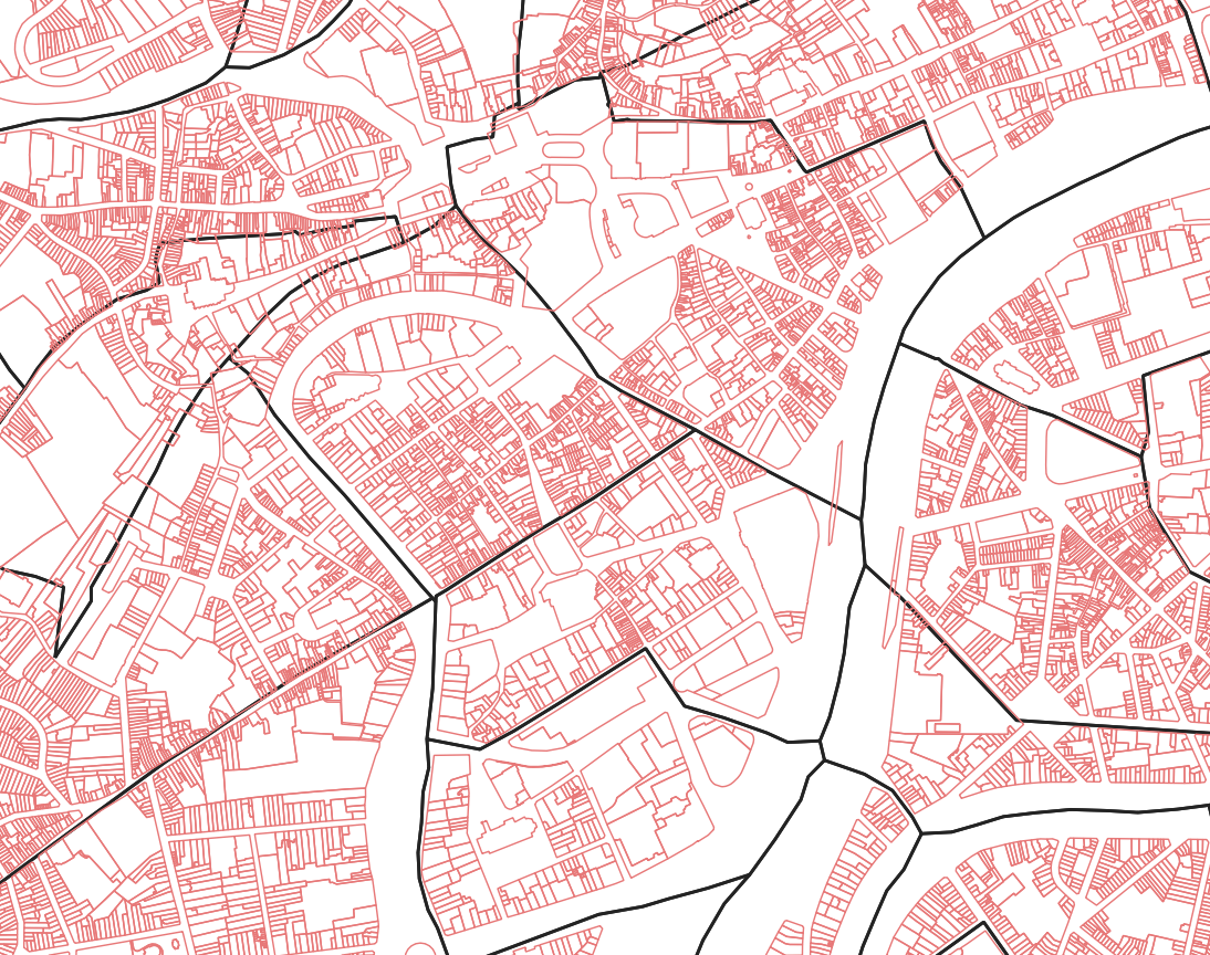
Spatial extent
Provided by
