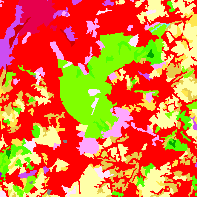
CORINE Land Cover-2018-Belgium
The data set contains a seamless polygonal layer representing the land cover in Belgium for the year 2012 and the year 2018. The polygons are spread over 32 classes from the CORINE Land Cover legend which are present un Belgium. The minimum map unit is 25 ha. The conceptual scale is 1:100 000. The data set also contains a polygon layer showing changes of more than 5 ha in the land cover between 2012 and 2018.
Simple
- Date (Creation)
- 2018-08-01
- Identifier
- BE.NGI-IGN / ad1ad903-f45d-43b0-8ced-d3c0e376efee
- Status
- Completed
Custodian
National Geographic Institute
-
Johannes Van Geertsom
Kortenberglaan 115
,
Brussels
,
1000
,
Belgium
http://www.ngi.be
- Maintenance and update frequency
- Not planned
- Keywords
-
- HVD_cat_land cover
- Use limitation
- https://creativecommons.org/licenses/by/4.0/
- Access constraints
- Other restrictions
- Other constraints
- No limitations on public access
- Use constraints
- Other restrictions
- Other constraints
- https://creativecommons.org/licenses/by/4.0/
- Spatial representation type
- Vector
- Denominator
- 100000
- Metadata language
- Deutsch
- Metadata language
- Français
- Metadata language
- Nederlands; Vlaams
- Character set
- 8859 Part 15
- Description
- Belgium
N
S
E
W
))
- Unique resource identifier
- EPSG:3812
- Codespace
- EPSG
- Distribution format
-
-
Esri Shapefile
(
)
-
Esri Shapefile
(
)
- OnLine resource
-
View service
(
OGC:WMS
)
View service
- OnLine resource
-
Downloadable data
(
WWW:DOWNLOAD-1.0-http--download
)
Downloadable data
- OnLine resource
-
Service does not display good with Chrome. Use rather Mozilla or Explorer.
(
ATOM
)
Service does not display good with Chrome. Use rather Mozilla or Explorer.
- Hierarchy level
- Dataset
Domain consistency
- Name of measure
- INSPIRE Conformity
Conformance result
- Date (Publication)
- 2010-12-08
- Explanation
- The dataset described does not fill the technical requirements sustaining the interoperability of data sets and services, as stipulated in the Commission Regulation (EU) No 1089/2010 of 23 November 2010
- Pass
- No
- Statement
- The CHA18_BE layer has been produced by a visual comparison of the i2012 and i2018 images, Landsat and SPOT/IRS images respectively which cover Belgium, The topographic maps at the 1:10 000 and 1:50 000 scales and orthophotographs have been used as additional data.
- File identifier
- ad1ad903-f45d-43b0-8ced-d3c0e376efee XML
- Metadata language
- English
- Character set
- UTF8
- Hierarchy level
- Dataset
- Date stamp
- 2026-02-03T11:47:31
- Metadata standard name
- ISO 19115:2003/19139
- Metadata standard version
- 1.0
Point of contact
National Geographic Institute
-
Floor Van Damme
Kortenberglaan 115
,
Brussels
,
1000
,
Belgium
http://www.ngi.be
Overviews

Spatial extent
N
S
E
W
))
Provided by

Associated resources
Not available
 geo.be Metadata Catalog