 geo.be Metadata Catalog
Aerial photo collection NGI
Simple
- Date (Creation)
- 1947-01-01
- Date (Publication)
- 2026-03-27
- Identifier
- BE.NGI-IGN / 767b77ef-6dea-11f0-8b0a-00be433d8c24
- Status
- Completed
- Maintenance and update frequency
- As needed
- Use constraints
- Other restrictions
- Other constraints
-
•The custodian of the resource holds the rights of property (including the rights of intellectual property) to the geographic files
•The custodian grants the user the right to use the data for his internal use.
•Commercial use of the data under any form is strictly forbidden
•Custodian’s name must be mentioned each time the data are being used publically.
- Access constraints
- Other restrictions
- Other constraints
- No limitations on public access
- Use limitation
-
•The custodian of the resource holds the rights of property (including the rights of intellectual property) to the geographic files
•The custodian grants the user the right to use the data for his internal use.
•Commercial use of the data under any form is strictly forbidden
•Custodian’s name must be mentioned each time the data are being used publically.
- Spatial representation type
- Vector
- Metadata language
- English
- Character set
- 8859 Part 15
- Description
- Belgium
))
- Unique resource identifier
- EPSG:3812
- Distribution format
-
-
Esri Shapefile
(
10.2
)
-
Esri Shapefile
(
10.2
)
- OnLine resource
-
https://ngi.be/aanbod/kaarten-en-fotos/luchtfotos-orthofotos/
(
WWW:LINK-1.0-http--link
)
Direct access to the webshop
- Hierarchy level
- Dataset
Domain consistency
- Name of measure
- INSPIRE Conformity
Conformance result
- Date (Publication)
- 2010-12-08
- Explanation
- The dataset’s compliance with the technical requirements as defined by the Commission Regulation (EU) No 1089/2010 of 23 November 2010 has not been checked
- Statement
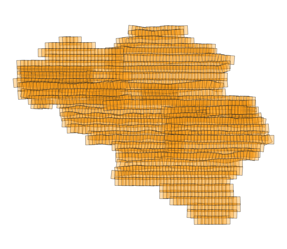
- This dataset was produced through the triangulation of stereographic aerial photographs. The images were captured from low-altitude aircraft and commissioned by the National Geographic Institute of Belgium. The flight paths were reconstructed by connecting the centroids of images from the same flight with the same strip ID in ascending order of image ID.
- File identifier
- 767b77ef-6dea-11f0-8b0a-00be433d8c24 XML
- Metadata language
- English
- Character set
- UTF8
- Hierarchy level
- Dataset
- Date stamp
- 2026-08-26T11:41:37
- Metadata standard name
- ISO 19115:2003/19139
- Metadata standard version
- 1.0
Overviews
Spatial extent
Provided by