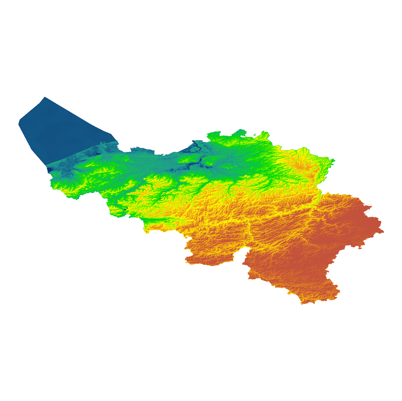
eTOD digital terrain model
Simple
- Date (Creation)
- 2022-07-20
- Date (Revision)
- 2025-12-16
- Identifier
- BE.NGI-IGN / 49c7af1e-0f35-11ed-ac71-186571a04de2
- Status
- Completed
- Maintenance and update frequency
- Irregular
- Keywords
-
- Terrain model, DTM, eTOD, ADQ, aviation
- Use constraints
- Other restrictions
- Other constraints
- https://creativecommons.org/licenses/by/4.0/
- Access constraints
- Other restrictions
- Other constraints
- No limitations on public access
- Use limitation
- https://creativecommons.org/licenses/by/4.0/
- Spatial representation type
- Grid
- Distance
- 30 m
- Metadata language
- Français
- Metadata language
- Nederlands; Vlaams
- Character set
- 8859 Part 15
- Topic category
-
- Transportation
- Description
- Belgium
))
- Unique resource identifier
- EPSG:4326
- Distribution format
-
-
TIFF
()
-
Esri Geodatabase
()
-
TIFF
()
- OnLine resource
-
Direct download of resource
(
WWW:DOWNLOAD-1.0-http--download
)
Direct download of resource
- OnLine resource
-
Direct download of resource
(
WWW:DOWNLOAD-1.0-http--download
)
Direct download of resource
- OnLine resource
-
View service
(
OGC:WMS
)
View service
- Hierarchy level
- Dataset
Domain consistency
- Name of measure
- INSPIRE Conformity
Conformance result
- Date (Publication)
- 2010-12-08
- Explanation
- The dataset’s compliance with the technical requirements as defined by the Commission Regulation (EU) No 1089/2010 of 23 November 2010 has not been checked
- Statement
- This dataset is obtained by resampling raw altimetric source data from the Flemish and Walloon Regions, grouped in Lambert 72 and with a resolution of 1 m; as well as data obtained internally by direct photogrammetric recording of structure points and lines based on the most recent aerial photographs for all areas not covered by regional data.
- File identifier
- 49c7af1e-0f35-11ed-ac71-186571a04de2 XML
- Metadata language
- English
- Character set
- UTF8
- Hierarchy level
- Dataset
- Date stamp
- 2026-02-03T11:42:46
- Metadata standard name
- ISO 19115:2003/19139
- Metadata standard version
- 1.0
Overviews

Spatial extent
))
Provided by

 geo.be Metadata Catalog