MapIndex
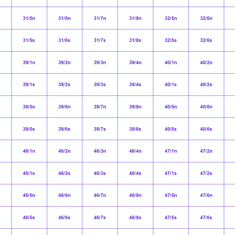
Mapindex is a WMS which allows viewing the regular index grid which has been defined on five levels for the entire Belgian territory. It has been defined in order to allow a zonal geolocation. The present version is a beta version (v2) which is submitted to the emergency services. It will evolve to a standard cartographic grid.
Simple
Identification info
- Date (Creation)
- 2020-09-03
- Date (Revision)
- 2023-11-14
- Identifier
- BE.NGI-IGN / 2985eec0-04bf-11eb-99eb-186571a04de3
Custodian
National Geographic Institute
-
Frédérique Spitaels
Kortenberglaan 115
,
Brussels
,
1000
,
Belgium
http://www.ngi.be
- Keywords
-
- Federal viewer
- Use constraints
- Other restrictions
- Other constraints
- https://creativecommons.org/licenses/by/4.0/
- Access constraints
- Other restrictions
- Other constraints
- No limitations on public access
- Use limitation
- https://creativecommons.org/licenses/by/4.0/
- Service Type
- view
- Description
- Belgium
N
S
E
W
))
- Coupling Type
- Tight
Contains Operations
- Operation Name
- GetCapabilities
- Distributed Computing Platforms
- Web services
- Connect Point
- https://wms.ngi.be/inspire/mapindex/service?request=GetCapabilities&service=WMS&version=1.3.0 ( OGC:WMS )
- Operates On
- Reference system identifier
- EPSG:3035
- Reference system identifier
- EPSG:4258
- Reference system identifier
- EPSG:3857
- Reference system identifier
- EPSG:4326
- Reference system identifier
- EPSG:3812
- Reference system identifier
- EPSG:25831
- Reference system identifier
- EPSG:25832
- OnLine resource
-
View service
(
OGC:WMS
)
View service
- OnLine resource
-
http://publish.geo.be/geonetwork/srv/api/records/0df5cb5e-04c6-11eb-a1e3-186571a04de3/attachments/mapindex_BETAv2_ProductSpecification_FR.pdf
(
WWW:LINK-1.0-http--link
)
Technical specifications of the product
- Hierarchy level
- Service
- Other
- service
Domain consistency
- Name of measure
- INSPIRE Conformity
Conformance result
- Date (Publication)
- 2009-08-19
- Explanation
- The service described meets the technical requirements as defined by the Commission Regulation (EC) No 976/2009 of 19 October 2009.
- Pass
- Yes
- File identifier
- 29475f1e-04bf-11eb-9801-186571a04de3 XML
- Metadata language
- English
- Character set
- UTF8
- Hierarchy level
- Service
- Hierarchy level name
- Webmap Service
- Date stamp
- 2024-06-06T13:39:52
- Metadata standard name
- ISO 19115:2003/19139
- Metadata standard version
- 1.0
Point of contact
National Geographic Institute
-
Floor Van Damme
Kortenberglaan 115
,
Brussels
,
1000
,
Belgium
http://www.ngi.be
Overviews

Spatial extent
N
S
E
W
))
Provided by

Associated resources
Not available
 geo.be Metadata Catalog