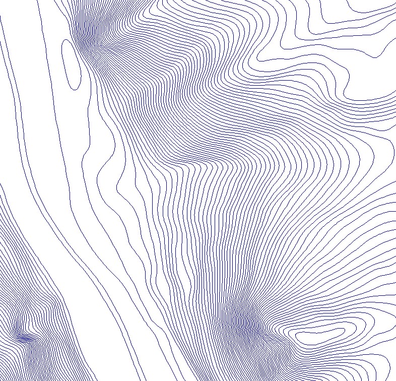
Large scale Contour lines
Simple
- Date (Creation)
- 2021-01-15
- Date (Revision)
- 2021-01-15
- Identifier
- BE.NGI-IGN / aae93180-cd27-11eb-8857-005056a2d5a8
- Status
- Completed
- Maintenance and update frequency
- As needed
- Keywords
-
- HVD_cat_elevation
- Use constraints
- Other restrictions
- Other constraints
- https://creativecommons.org/licenses/by/4.0/
- Access constraints
- Other restrictions
- Other constraints
- No limitations on public access
- Spatial representation type
- Vector
- Denominator
- 10000
- Metadata language
- Nederlands; Vlaams
- Metadata language
- Français
- Character set
- 8859 Part 15
- Description
- Belgium
))
- Unique resource identifier
- EPSG:3812
- Distribution format
-
-
Esri Geodatabase
()
-
GeoPackage
()
-
Esri Geodatabase
()
- OnLine resource
-
View service
(
OGC:WMS
)
View service
- OnLine resource
-
Downloadable data
(
WWW:DOWNLOAD-1.0-http--download
)
Downloadable data
- OnLine resource
-
https://ac.ngi.be/remoteclient-open/ngi-standard-open/Specifications/Vectordata/LargeScaleContourLines_spectech_EN.pdf
(
WWW:LINK-1.0-http--link
)
technical specifications of the product
- Hierarchy level
- Dataset
Domain consistency
- Name of measure
- INSPIRE Conformity
Conformance result
- Date (Publication)
- 2010-12-08
- Explanation
- The dataset’s compliance with the technical requirements as defined by the Commission Regulation (EU) No 1089/2010 of 23 November 2010 has not been checked
- Statement
- In order to produce our new multipurpose (GIS, CAD...) contour lines for our internal and external customers, we use our 5m resolution DTM, which is being updated continually by means of checks and modifications using photogrammetry. (This DTM is derived from the most recent 1m resolution DTMs which are supplied by the regions. They are products which are derived from the processing of point clouds from LiDAR campaigns. After reprojecting the regional data in Lambert72 into our own datum, Lambert 2008, the DTMs are interpolated again to a 5m resolution.) The updated DTM is then processed through a low filter in order to generalize the modelling of the relief by deleting superfluous details. On the basis of this DTM, contour lines with a 1m25 contour interval are generated for the entire Belgian territory. Afterwards, these contour lines are generalized by means of selection (deleting the shortest contour lines) and by smoothing.
- File identifier
- aae93180-cd27-11eb-8857-005056a2d5a8 XML
- Metadata language
- English
- Character set
- UTF8
- Hierarchy level
- Dataset
- Date stamp
- 2026-02-03T11:23:04
- Metadata standard name
- ISO 19115:2003/19139
- Metadata standard version
- 1.0
Overviews

Spatial extent
))
Provided by

 geo.be Metadata Catalog