 geo.be Metadata Catalog
Aerial photo collection NGI (WFS)
This service allows consultation of the spatial metadata of the complete collection of aerial photos of the National Geographic Institute (NGI), from 1946 to today. The data is accessible via a Web Feature Service (WFS).
The collection comprises more than 100,000 aerial photos. The images are predominantly panchromatic (black and white). From the late 1970s onwards, colour images were also taken, and from the end of 2004 onwards all images were taken in colour. The analogue aerial photos in the collection were scanned in high resolution. More recent aerial photos were captured directly in digital format.
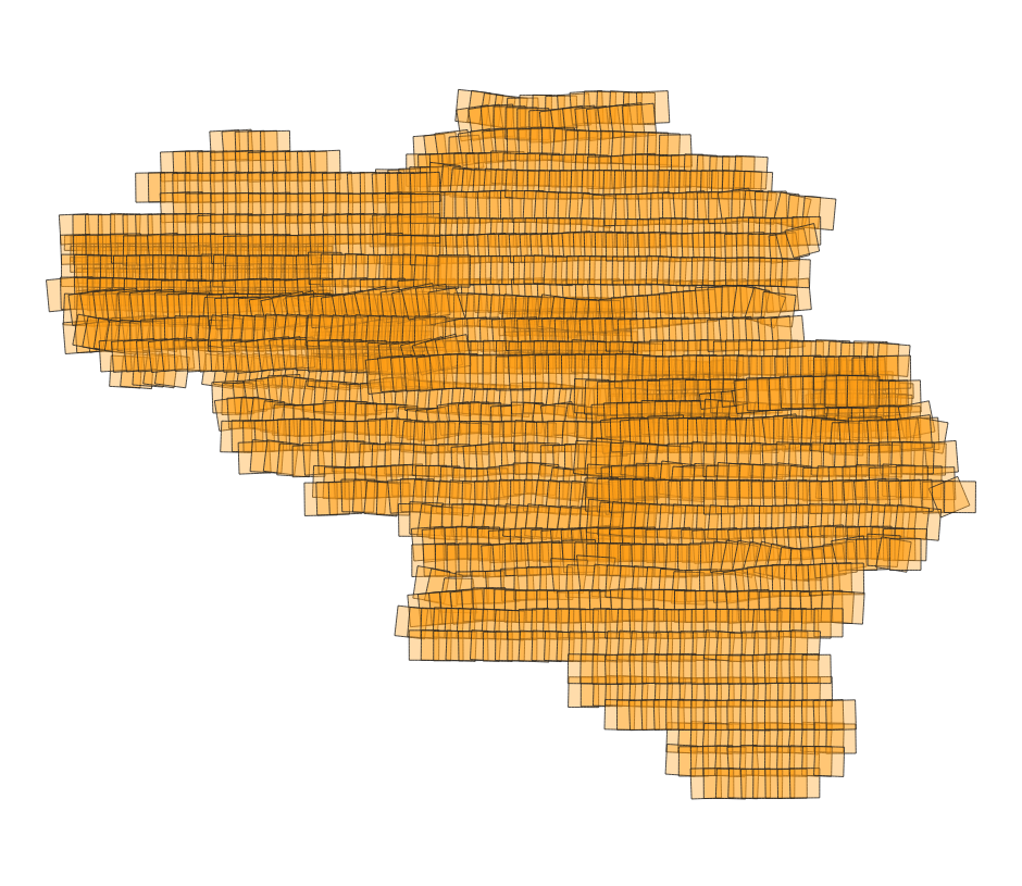
This specific service includes three layers: the centroids (centre points) of the individual aerial photos, the footprints (the outlines of the area on the ground covered by each photo), and the flight paths of the aircraft used during image acquisition. For each aerial photo, all known metadata is included in the attribute table, such as the acquisition date, the flight and the strip, the dimensions, the scale, the ground resolution, the radiometry (black and white or colour), the coordinates of the centre point, and the camera, lens and film used. This data makes it possible to find out which aerial photos are available for a given location and period, and what the characteristics of each photo are.
The aerial photos can be ordered in high resolution via https://shop.ngi.be/nl/luchtfotos/.
Simple
Identification info
- Date (Creation)
- 2025-07-31
- Date (Publication)
- 2026-03-27
- Identifier
- BE.NGI-IGN / a4aa315c-9941-11f0-971c-00be433d8c24
- Maintenance and update frequency
- As needed
- Use constraints
- Other restrictions
- Other constraints
-
•The custodian of the resource holds the rights of property (including the rights of intellectual property) to the geographic files
•The custodian grants the user the right to use the data for his internal use.
•Commercial use of the data under any form is strictly forbidden
•Custodian’s name must be mentioned each time the data are being used publically.
- Access constraints
- Other restrictions
- Other constraints
- No limitations on public access
- Use limitation
-
•The custodian of the resource holds the rights of property (including the rights of intellectual property) to the geographic files
•The custodian grants the user the right to use the data for his internal use.
•Commercial use of the data under any form is strictly forbidden
•Custodian’s name must be mentioned each time the data are being used publically.
- Service Type
- view
- Description
- Belgium
))
- Coupling Type
- Tight
Contains Operations
- Operation Name
- GetCapabilities
- Distributed Computing Platforms
- Web services
- Connect Point
- https://data.geo.be/ws/hap/wfs?request=getcapabilities&service=wfs ( OGC:WFS )
- Operates On
- Reference system identifier
- EPSG:3035
- Reference system identifier
- EPSG:4258
- Reference system identifier
- EPSG:3857
- Reference system identifier
- EPSG:4326
- Reference system identifier
- EPSG:3812
- Reference system identifier
- EPSG:25831
- Reference system identifier
- EPSG:25832
- OnLine resource
-
Web feature service
(
OGC:WFS
)
Web feature service
- Hierarchy level
- Service
- Other
- service
Domain consistency
- Name of measure
- INSPIRE Conformity
Conformance result
- Date (Publication)
- 2009-08-19
- Explanation
- The service described does not meet the technical requirements as defined by the Commission Regulation (EC) No 976/2009 of 19 October 2009.
- Pass
- No
- File identifier
- a4aa315c-9941-11f0-971c-00be433d8c24 XML
- Metadata language
- English
- Character set
- UTF8
- Hierarchy level
- Service
- Hierarchy level name
- Webmap Service
- Date stamp
- 2026-08-03T09:21:15
- Metadata standard name
- ISO 19115:2003/19139
- Metadata standard version
- 1.0
Overviews
Spatial extent
Provided by