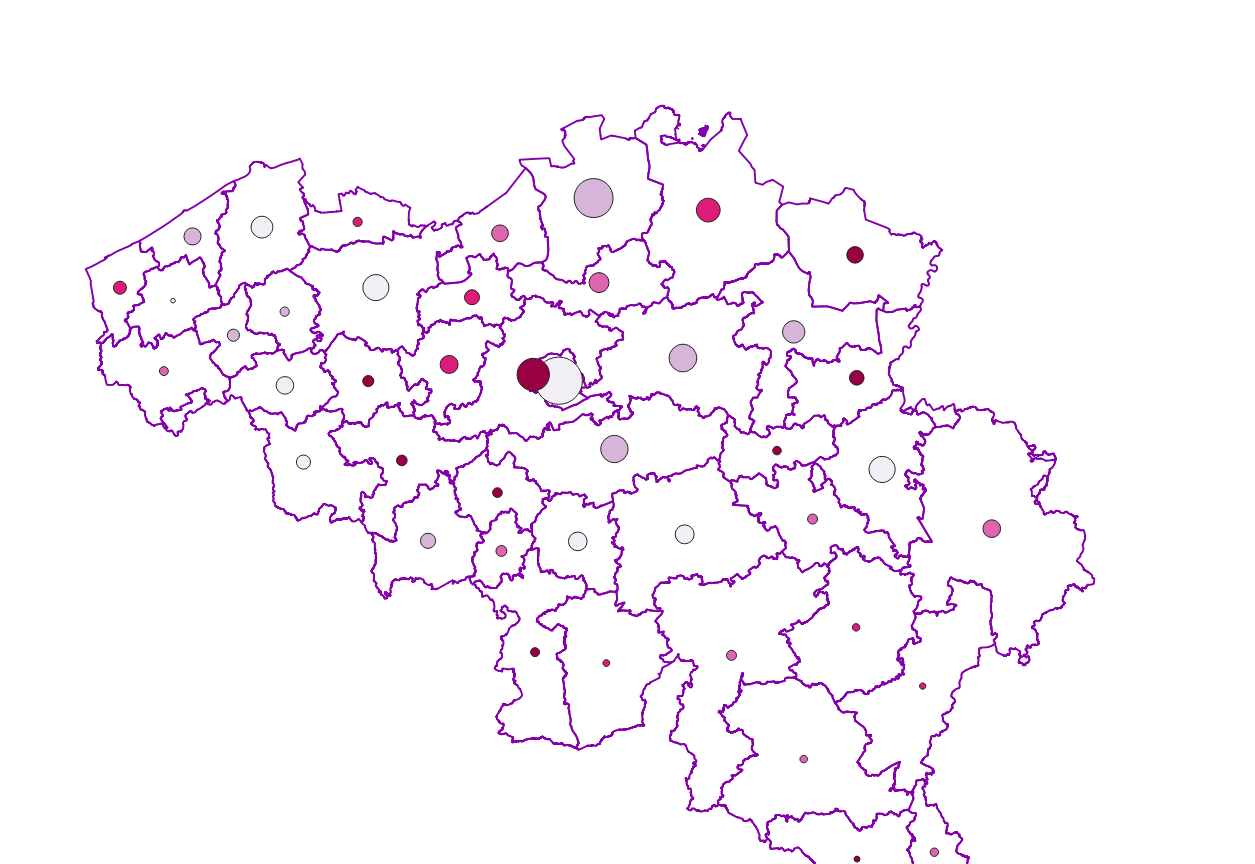
Characteristics of the cadastral parcels - Land use
Simple
- Date (Creation)
- 2020-12-15
- Date (Revision)
- 2024-07-28
- Identifier
- GAPD / 86999d70-51ca-11eb-9238-3448ed25ad7c
- Status
- Completed
- Maintenance and update frequency
- Annually
- Use constraints
- Other restrictions
- Other constraints
- The licence is fully available in French (https://finances.belgium.be/sites/default/files/Licence_plan_opendata_FR.PDF) or in Dutch (https://financien.belgium.be/sites/default/files/Licentie_plan_opendata_NL.PDF).
- Access constraints
- Other restrictions
- Other constraints
- No limitations on public access
- Aggregate Datasetindentifier
- fb1e2993-2020-428c-9188-eb5f75e284b9
- Association Type
- geometricFeatures
- Spatial representation type
- Text, table
- Metadata language
- English
- Metadata language
- Deutsch
- Metadata language
- Français
- Metadata language
- Nederlands; Vlaams
- Character set
- 8859 Part 15
- Topic category
-
- Planning cadastre
- Description
- Belgium
))
- Reference system identifier
- Belgian administrative units
Spatial representation info
- Distribution format
-
-
CSV
()
-
CSV
()
- OnLine resource
-
https://opendata.fin.belgium.be/download/TechnicalSpecifications/LandOccupation_20240101_TechSpec_NL.pdf
(
WWW:LINK-1.0-http--link
)
Technical documentation of the product
- OnLine resource
-
Download service non-INSPIRE datasets
(
WWW:LINK-1.0-http--link
)
Download service non-INSPIRE datasets
- OnLine resource
-
Direct download of the last version of resource
(
WWW:DOWNLOAD-1.0-http--download
)
Direct download of the last version of resource
- OnLine resource
-
https://finance.belgium.be/en/experts-partners/open-data-patrimony/datasets/download-portal
(
WWW:DOWNLOAD-1.0-http--download
)
Direct download of all versions of the resource
- Hierarchy level
- Dataset
Domain consistency
- Name of measure
- INSPIRE Conformity
Conformance result
- Date (Publication)
- 2010-12-08
- Explanation
- The dataset’s compliance with the technical requirements as defined by the Commission Regulation (EU) No 1089/2010 of 23 November 2010 has not been checked
- Statement
- Characteristics of the cadastral parcels - Land use is is compiled from the contents of the reference database for the land register data. It records, for each parcel, its type (that is to say, its use), its cadastral income (i.e. the annual net rental value of the property on January 1st 1975, the reference year for property tax purposes) and its surface area. These variables are determined, after investigation, by the agents of the FPS Finance at the time of the creation of the parcel, after a significant modification of the parcel or after a possible control carried out by the FPS Finance, in particular following the registration of a real right.
- File identifier
- 86999d70-51ca-11eb-9238-3448ed25ad7c XML
- Metadata language
- English
- Character set
- UTF8
- Hierarchy level
- Dataset
- Date stamp
- 2026-02-03T13:24:49
- Metadata standard name
- ISO 19115:2003/19139
- Metadata standard version
- 1.0
Overviews

Spatial extent
))
Provided by

 geo.be Metadata Catalog