geo.be Metadata Catalog
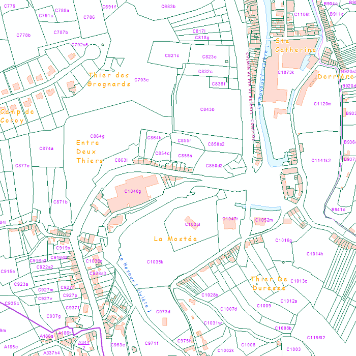
Download service -Admininistrative units and Land register plan - current situation
This web service provides the download per object of the datasets Administrative units - current situation and Land register plan - current situation. This webservice does not comply with the INSPIRE specifications, and the datasets to which it gives access do not comply with the INSPIRE specifications.
Simple
- Date (Creation)
- 2017-01-01T12:00:00
- Date (Revision)
- 2018-01-01
- Point of contact
-
Organisation name Individual name Electronic mail address Role FPS Finance - General Administration of Patrimonial Documentation (GAPD)
Gérald Henskens
Point of contact
- Theme
-
- Theme
-
-
humanGeographicViewer
-
- Use constraints
- Other restrictions
- Other constraints
- https://creativecommons.org/licenses/by/4.0/
- Access constraints
- Other restrictions
- Other constraints
- No limitations on public access
- Service Type
- download
- Service Version
-
1.1.1
- Fees
-
NONE
))
- Coupled Resource
-
Operation Name Scoped name Identifier GetCapabilities
65132770-71dc-11eb-b166-3448ed25ad7c
GetCapabilities
63b98ade-71dc-11eb-8bf5-3448ed25ad7c
- Coupling Type
- Loose
- Contains Operations
-
Operation Name Distributed Computing Platforms Connect Point GetCapabilities
Web services http://ccff02.minfin.fgov.be/geoservices/arcgis/services/WMS/Cadastral_Layers/MapServer/WFSServer?request=getcapabilities&service=wfs GetFeature
Web services http://ccff02.minfin.fgov.be/geoservices/arcgis/services/WMS/Cadastral_LayersWFS/MapServer/WFSServer?
- Geometric object type
- Surface
- Distribution format
-
Name Version GML 3.2
Digital transfer options
- OnLine resource
-
Protocol Linkage Name OGC:WFS
http://ccff02.minfin.fgov.be/geoservices/arcgis/services/WMS/Cadastral_LayersWFS/MapServer/WFSServer?request=GetCapabilities&service=WFS
- Hierarchy level
- Service
- Other
-
Webmap service
Domain consistency
- Name of measure
-
INSPIRE Conformity
Conformance result
- Date (Publication)
- 2009-08-19
- Explanation
-
The service described meets the technical requirements as defined by the Commission Regulation (EC) No 976/2009 of 19 October 2009
- Pass
- No
Metadata
- File identifier
- 468289ec-95b3-473f-be81-928b7be20b51 XML
- Metadata language
- English
- Character set
- UTF8
- Hierarchy level
- Service
- Hierarchy level name
-
Webmap service
- Date stamp
- 2026-09-24T15:45:08
- Metadata standard name
-
ISO 19115:2003/19139
- Metadata standard version
-
1.0
- Metadata author
-
Organisation name Individual name Electronic mail address Role FPS Finance - General Administration of Patrimonial Documentation (GAPD)
Florian Van Aubel
Point of contact
- Other language
-
Language Character encoding French Dutch; Flemish German English UTF8