geo.be Metadata Catalog
G-DOC
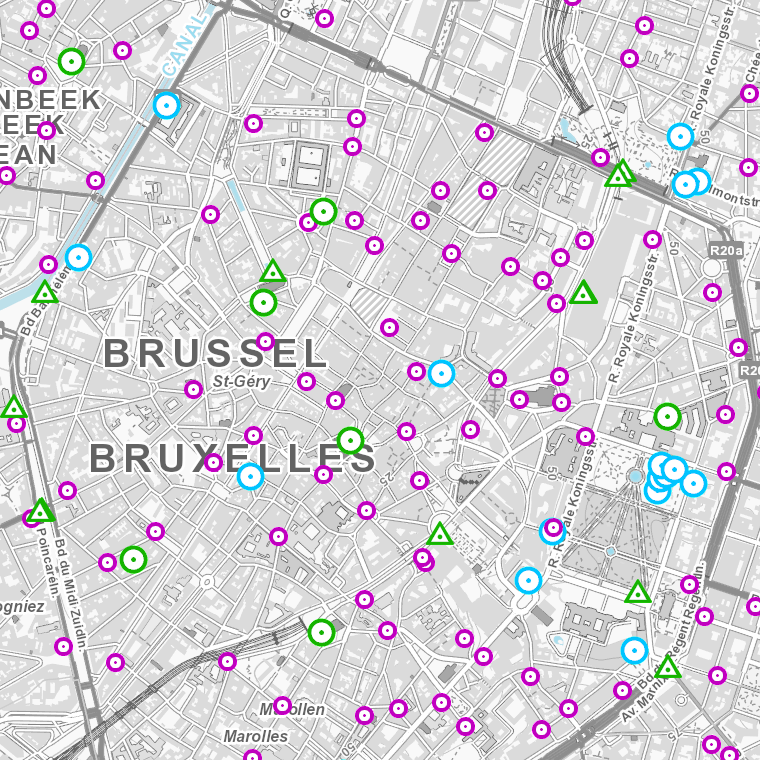
The web application G-DOC provides information on all Belgian geodetic reference points. These points can be used as starting points or checkpoints to determine coordinates according to the national reference systems. three groups of geodetic reference points are available: 3D points, altimetric points and planimetric points.
Simple
- Date (Creation)
- 2005-02-01
- Date (Revision)
- 2005-02-01
- Citation identifier
- BE.NGI-IGN / 0f4970f0-1fac-11ec-86de-7478273ff935
- Point of contact
-
Organisation name Individual name Electronic mail address Role National Geographic Institute
Guido Van Steen
Custodian
- Maintenance and update frequency
- Irregular
- Keywords
-
-
GDOC
-
- Use constraints
- Other restrictions
- Other constraints
-
•The custodian of the resource holds the rights of property (including the rights of intellectual property) to the geographic files
•The custodian grants the user the right to use the data for his internal use.
•Commercial use of the data under any form is strictly forbidden
•Custodian’s name must be mentioned each time the data are being used publically.
- Access constraints
- Other restrictions
- Other constraints
- No limitations on public access
- Use limitation
-
•The custodian of the resource holds the rights of property (including the rights of intellectual property) to the geographic files
•The custodian grants the user the right to use the data for his internal use.
•Commercial use of the data under any form is strictly forbidden
•Custodian’s name must be mentioned each time the data are being used publically.
- Service Type
- application
- Description
-
Belgium
))
- Coupling Type
- Tight
- Contains Operations
-
Operation Name Distributed Computing Platforms Connect Point https://gdoc.ngi.be/
Digital transfer options
- OnLine resource
-
Protocol Linkage Name WWW:LINK-1.0-http--link
https://gdoc.ngi.be/
Metadata
- File identifier
- 0f4970f0-1fac-11ec-86de-7478273ff935 XML
- Metadata language
- English
- Character set
- UTF8
- Hierarchy level
- interactiveMap
- Hierarchy level name
-
Application
- Date stamp
- 2026-01-27T13:55:54
- Metadata standard name
-
ISO 19115:2003/19139
- Metadata standard version
-
1.0
- Metadata author
-
Organisation name Individual name Electronic mail address Role National Geographic Institute
Floor Van Damme
Point of contact
- Other language
-
Language Character encoding French Dutch; Flemish German English UTF8