geo.be Metadata Catalog
Contour Lines INSPIRE
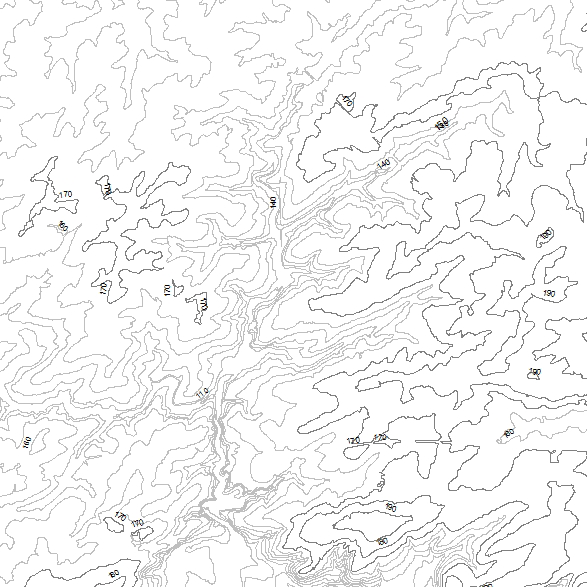
The INSPIRE contour lines used for a cartographic representation of the relief at scale 1:50000, a product of the National Geographic Institute in Belgium. The dataset features are in accordance with the INSPIRE specifications.
Simple
- Date (Creation)
- 2020-10-21
- Date (Revision)
- 2020-10-21
- Citation identifier
- BE.NGI-IGN / 92f330a7-8781-4dbd-966e-1bb8e5314009
- Status
- Completed
- Point of contact
-
Organisation name Individual name Electronic mail address Role National Geographic Institute
Annie Royen
Custodian
- Maintenance and update frequency
- Not planned
- Keywords
-
-
HVD_cat_elevation
-
- Use constraints
- Other restrictions
- Other constraints
- https://creativecommons.org/licenses/by/4.0/
- Access constraints
- Other restrictions
- Other constraints
- No limitations on public access
- Use limitation
- https://creativecommons.org/licenses/by/4.0/
- Spatial representation type
- Vector
- Denominator
- 50000
- Language
- Deutsch
- Language
- Nederlands; Vlaams
- Language
- Français
- Character set
- 8859 Part 15
- Topic category
-
- Elevation
- Description
-
Belgium
))
- Unique resource identifier
- EPSG:3812
- Distribution format
-
Name Version GML
Digital transfer options
- OnLine resource
-
Protocol Linkage Name WWW:DOWNLOAD-1.0-http--download
https://ac.ngi.be/remoteclient-open/ngi-standard-open/Vectordata/INSPIRE/ContourLines_gml_L08.zip
Digital transfer options
- OnLine resource
-
Protocol Linkage Name OGC:WMS https://data.geo.be/ws/elevation/wms?request=getcapabilities&service=wms INSPIRE WMS
Digital transfer options
- Hierarchy level
- Dataset
Domain consistency
- Name of measure
-
INSPIRE Conformity
Conformance result
- Date (Publication)
- 2010-12-08
- Explanation
-
The dataset described fills the technical requirements sustaining the interoperability of data sets and services, as stipulated in the Commission Regulation (EU) No 1089/2010 of 23 November 2010.
- Pass
- Yes
- Statement
-
The INSPIRE data set is generated from the data source Contour Line https://www.geo.be/catalog/details/94e0a300-7ae5-11e9-91a5-482ae30f98d9?l=en
Metadata
- File identifier
- 92f330a7-8781-4dbd-966e-1bb8e5314009 XML
- Metadata language
- English
- Character set
- UTF8
- Hierarchy level
- Dataset
- Date stamp
- 2026-09-16T15:42:03
- Metadata standard name
-
ISO 19115:2003/19139
- Metadata standard version
-
1.0
- Metadata author
-
Organisation name Individual name Electronic mail address Role National Geographic Institute
Floor Van Damme
Point of contact
- Other language
-
Language Character encoding French UTF8 Dutch; Flemish UTF8 German UTF8 English UTF8