geo.be Metadata Catalog
Characteristics of the cadastral parcels - Land use
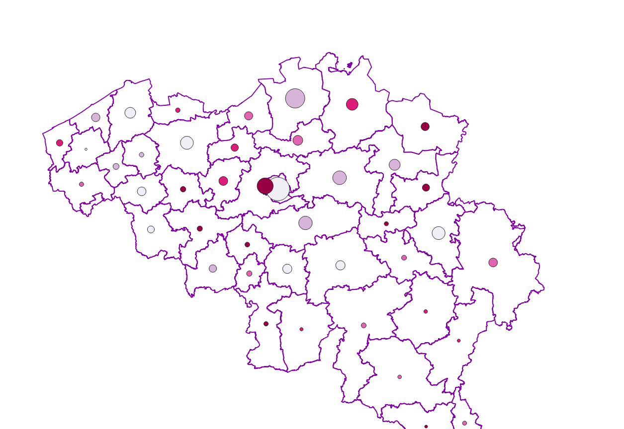
Characteristics of the cadastral parcels - Land use corresponds to the dataset describing the cadastral nature of the parcels such as recorded by the FPS Finance for tax purposes. This dataset is composed of seven classes. The first class shows, at the national level, for each type, the number of parcels, their cadastral income and their total surface area, as well as the median cadastral income of the plots. The second class includes this information at the level of the three regions. The following classes do the same at the level of provinces, arrondissements, municipalities, cadastral divisions and statistical sectors. The dataset can be freely downloaded as a zipped CSV.
Simple
- Date (Creation)
- 2020-12-15
- Date (Revision)
- 2026-07-24
- Citation identifier
- GAPD / 86999d70-51ca-11eb-9238-3448ed25ad7c
- Status
- Completed
- Point of contact
-
Organisation name Individual name Electronic mail address Role FPS Finance - General Administration of Patrimonial Documentation (GAPD)
Gérald Henskens
Custodian
- Maintenance and update frequency
- Annually
- Use constraints
- Other restrictions
- Other constraints
- https://creativecommons.org/licenses/by/4.0/
- Access constraints
- Other restrictions
- Other constraints
- No limitations on public access
- Spatial representation type
- Text, table
- Language
- English
- Language
- Deutsch
- Language
- Français
- Language
- Nederlands; Vlaams
- Character set
- 8859 Part 15
- Topic category
-
- Planning cadastre
- Description
-
Belgium
))
- Reference system identifier
- Belgian administrative units
- Distribution format
-
Name Version CSV
Digital transfer options
- OnLine resource
-
Protocol Linkage Name WWW:LINK-1.0-http--link
https://opendata.fin.belgium.be/download/TechnicalSpecifications/LandOccupation_20260101_TechSpec_NL.pdf WWW:LINK-1.0-http--link
https://opendata.fin.belgium.be/download/ATOM/9bb31275-18bc-4bdc-96e9-55c9e1edd9eb-en.xml Download service non-INSPIRE datasets
WWW:LINK-1.0-http--link
https://eservices.minfin.fgov.be/arcgis/apps/sites/#/dashboard-nl/pages/mediaan-kadastraal-inkomen https://eservices.minfin.fgov.be/arcgis/apps/sites/#/dashboard-nl/pages/mediaan-kadastraal-inkomen
WWW:LINK-1.0-http--link
https://eservices.minfin.fgov.be/arcgis/apps/sites/#/dashboard-nl/pages/oppervlakte-van-de-ongebouwde-percelen
Digital transfer options
- OnLine resource
-
Protocol Linkage Name WWW:DOWNLOAD-1.0-http--download
https://opendata.fin.belgium.be/download/datasets/86999d70-51ca-11eb-9238-3448ed25ad7c_20260101_csv_NA_01000.zip
Digital transfer options
- OnLine resource
-
Protocol Linkage Name WWW:DOWNLOAD-1.0-http--download
https://financien.belgium.be/nl/experten_partners/open-patrimoniumdata/datasets/downloadportaal https://finance.belgium.be/en/experts-partners/open-data-patrimony/datasets/download-portal
- Hierarchy level
- Dataset
Domain consistency
- Name of measure
-
INSPIRE Conformity
Conformance result
- Date (Publication)
- 2010-12-08
- Explanation
-
The dataset’s compliance with the technical requirements as defined by the Commission Regulation (EU) No 1089/2010 of 23 November 2010 has not been checked
- Statement
-
Characteristics of the cadastral parcels - Land use is is compiled from the contents of the reference database for the land register data. It records, for each parcel, its type (that is to say, its use), its cadastral income (i.e. the annual net rental value of the property on January 1st 1975, the reference year for property tax purposes) and its surface area. These variables are determined, after investigation, by the agents of the FPS Finance at the time of the creation of the parcel, after a significant modification of the parcel or after a possible control carried out by the FPS Finance, in particular following the registration of a real right.
Metadata
- File identifier
- 86999d70-51ca-11eb-9238-3448ed25ad7c XML
- Metadata language
- English
- Character set
- UTF8
- Hierarchy level
- Dataset
- Date stamp
- 2026-09-25T18:05:09
- Metadata standard name
-
ISO 19115:2003/19139
- Metadata standard version
-
1.0
- Metadata author
-
Organisation name Individual name Electronic mail address Role FPS Finance - General Administration of Patrimonial Documentation (GAPD)
Gérald Henskens
Point of contact
- Other language
-
Language Character encoding French Dutch; Flemish German English UTF8