 geo.be Metadata Catalog
notPlanned
Type of resources
Available actions
Topics
INSPIRE themes
federalThemes
Keywords
Contact for the resource
Provided by
Years
Formats
Representation types
Update frequencies
status
Service types
Scale
Resolution
-

The entities included in dataset represent the Belgian waterway transport network in the sense of the Inspire European directive. The dataset comprises several classes and is in accordance with the INSPIRE specifications. The class represents, in a linear manner, all of the waterway links between each pair of dots for the network considered. In addition to this is one class without geometry. The RestrictionForWaterCehicles class specifies for each segment the maximum tonnage of the building using the segment.
-

Landuse-Particular Zone is the INSPIRE 2D vector data set of the "Particular zones" layer originated from the Top10vector product of the National Geographic Institute in Belgium . It includes the "ExistingLandUseDataSet" features and the "ExistingLandUseObject" features in accordance with the INSPIRE specifications.
-

Electricity network is the INSPIRE vector data set originated from the High-Tension network of the product TOP10Vector of the National Geographic Institute in Belgium. The Electricity network is regularly updated with the ELIA Group data sources. It includes the "ElectricityCable" features and the "Pole" features in accordance with the INSPIRE specifications.
-

The entities included in the dataset represent the Belgian hydrographic network in the sense of the Inspire European directive. The dataset comprises one sole WaterCourseLink class and is in accordance with the INSPIRE specifications. The WaterwayLink class represents, in a linear manner, all of the waterways in the Belgian hydrographic network.
-

This dataset shows a digital surface model. It is a homogeneous and regular points grid which indicates the height above the surface of the earth, either the soil or any other permanent and visible element in the landscape (vegetation, construction,…). These data represent the situation of the landscape resulting from the July 2021 floods in het areas of the Vesdre, of part of the Meuse downstream from Liège and of the Demer.
-

The INSPIRE contour lines used for a cartographic representation of the relief at scale 1:50000, a product of the National Geographic Institute in Belgium. The dataset features are in accordance with the INSPIRE specifications.
-

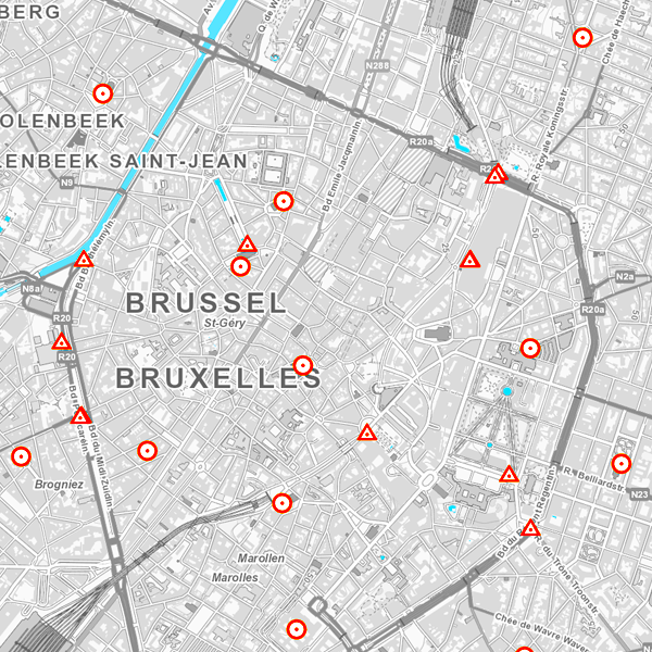
MapIndex is a regular grid of rectangular or square cells coded with alphanumeric characters. It has been defined for the Belgian territory and allows geolacating several events. The present version is a beta (v2)version which is submitted to the emergency services. It will evolve to a standard cartographic grid.
-
The layer Geographical Names includes all the names of administrative units, uninhabited places, waterways, remarkable buildings and infrastructures. They are classified into different feature and attribute classes.
-

The service makes it possible to view the aerial photos with orthorectification taken by Hansa Luftbild at NGI's request following the floods of July 2021 in the areas of the Vesdre, part of the Meuse downstream of Liège and the Demer. The resolution of the original data is 6.5 cm (4 cm above the Hoëgne). The service allows the images to be viewed at a maximum resolution of 25 cm. Orthophotos are digital aerial photographs in which the systematic distortions due to the central projection, relief and the not always perfectly vertical axis of shooting have been corrected. The orthophoto thereby obtained is metrically more accurate than an ordinary aerial photograph and is highly valuable as basic information.
-
Network of marks whose planimetric coordinates are known with precision according to the reference systems which are used in Belgium.