 geo.be Metadata Catalog
10000
Type of resources
Available actions
Topics
INSPIRE themes
federalThemes
Keywords
Contact for the resource
Provided by
Years
Formats
Representation types
Update frequencies
status
Scale
-

The Solar Ultraviolet - Visible Irradiance Monitoring network (SUVIM) is formed of observation stations operated by the Royal Belgian Institute for Space Aeronomy (IASB-BIRA). At each station, UV solar radiation is measured by several instruments. The network produces UV indices, solar irradiances and ancillary measurements such as meteorological conditions at the stations in quasi-real time. The SUVIM Station Network dataset includes information on the stations. It does not include the measured data, which form the SUVIM Observations dataset.
-
Points Of Interest - Elements of general interest contains point elements that are classified as being of general interest, namely embassies, (federal, regional, provincial, municipality) buildings, Govroam, court houses, prisons, police stations, post offices, education, sports buildings and infrastructure, cultural places and centres, libraries and archives, attraction-, recreation-, water- and wildlife parks, camp sites, museum, provincial domains, observatory, observation points, swimming pools, chemist's, crematorium, fire station, civil defence and healthcare in Belgium.
-

Administrative Units - INSPIRE corresponds to the dataset of the Belgian administrative units that complies with the INSPIRE specifications. This dataset is composed of two classes. The first class contains administrative units and the second class contains administrative boundaries. The class are composed of the following administrative level: Kingdom, Regions, Provinces, and arrondissements, and municipalities. The entire dataset can be downloaded via the ad hoc WFS.
-

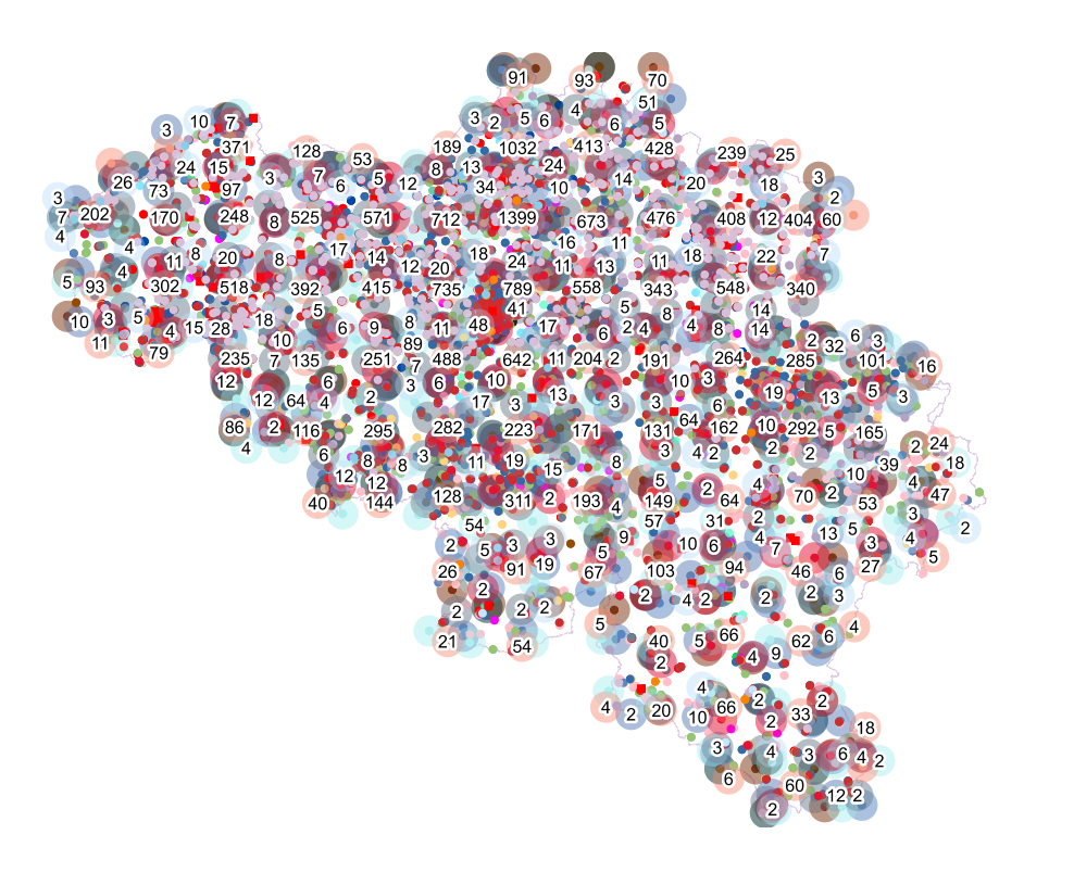
This dataset contains a set of Points Of Interest (POI) indicating the location of places of interest in Belgium, collected by NGI. The dataset consists of 97 POI types grouped into 6 classes (natural elements, cult elements, patrimonial elements, elements of general interest, infrastructures, economy). POI types that have a link with the NGI topographic reference data are systematically monitored to ensure consistency between these data. But for other POI types, there is no guarantee of completeness and correctness. These are updated ad hoc when an error or incompleteness is noticed.
-

The entities included in dataset represent the Belgian waterway transport network in the sense of the Inspire European directive. The dataset comprises several classes and is in accordance with the INSPIRE specifications. The class represents, in a linear manner, all of the waterway links between each pair of dots for the network considered. In addition to this is one class without geometry. The RestrictionForWaterCehicles class specifies for each segment the maximum tonnage of the building using the segment.
-
Emergency rescue zones corresponds to the dataset of the territorial delimitation of the emergency areas such as defined by the Royal Decree of February 2nd 2009 determining the territorial delimitation of the emergency areas in accordance with the law of May 15th 2007 on civil protection. This dataset is composed of two classes. The first class contains the identifiers, names and geometries of the various areas; the second is a class without geometry and corresponds to the table of Belgian municipalities with the emergency area for each of them. The dataset can be freely downloaded as a zipped shapefiles.
-

Top10Vector – Particular zones is the vector data set of portions of the Belgian territory having a particular attribution which makes them different from the objects in the other Top10Vector-themes. This data set includes only one class. This data set can be bought via the corresponding hyperlink.
-
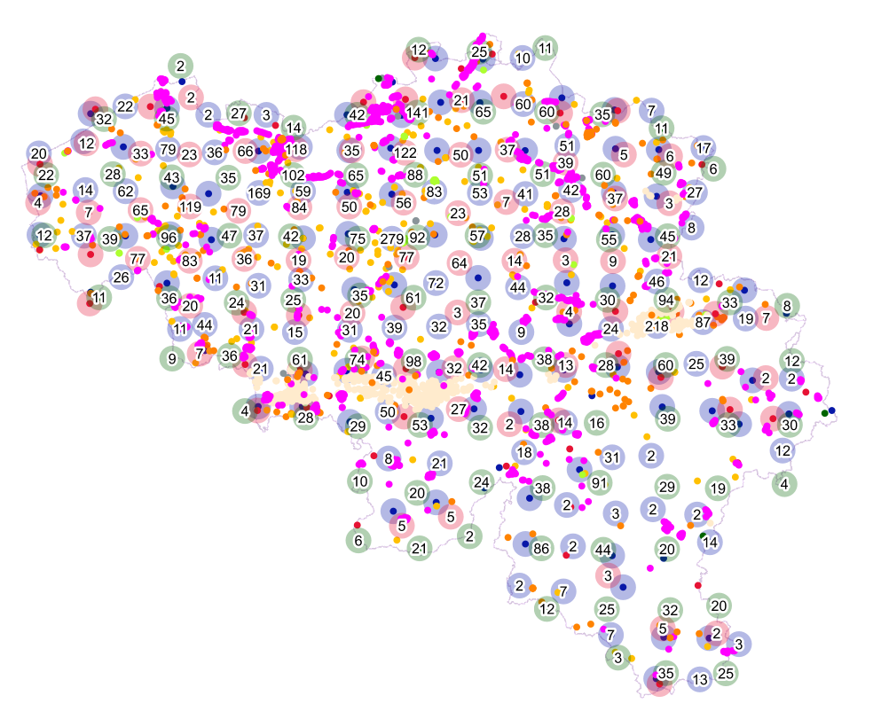
Points Of Interest - Economy interest contains point elements indicating the location of an economic activity, such as a brewery, wholesale market, (commercial, industrial) building, cooling tower, gas processing/disposal, slagheap, telecommunications, wind turbine, solar panel park in Belgium.
-

MapIndex is a regular grid of rectangular or square cells coded with alphanumeric characters. It has been defined for the Belgian territory and allows geolacating several events. The present version is a beta (v2)version which is submitted to the emergency services. It will evolve to a standard cartographic grid.
-

This dataset contains the Belgian judicial districts and cantons, within the boundaries established by the annexes of the Judicial Code. Each judicial canton has a justice of the peace, which is also included in this dataset.