 geo.be Metadata Catalog
service-view
Type of resources
Available actions
INSPIRE themes
federalThemes
Keywords
Contact for the resource
Provided by
Years
Formats
Update frequencies
status
Service types
-
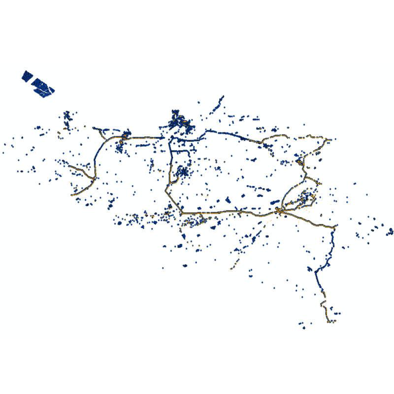
Web service with currently available electronic terrain and obstacle data in Area 1 related to: - Implementing Regulation (EU) No 2017/373 on, inter alia, the common requirements for air navigation service providers, as subsequently amended; - Annex 15 to the Chicago Convention on International Civil Aviation; - ICAO document 10066 PANS-AIM: Procedures for air navigation services, Aeronautical Information Management.
-

This web service allows viewing datasets from LandUse-Particular Zone
-

This web service provides a display of the Administrative Units - INSPIRE datase This webservice complies with the INSPIRE specifications.
-

This web service allows viewing the Belgian topographical vector data as established by the National Geographic Institute. It gives an overview of the data sets of the Top10Vector-series which can be purchased.
-
This web service allows viewing the NGI data which comply with the INSPIRE specifications. It gives an overview of the INSPIRE data which are for sale.
-

This webservice allows viewing a digital surface model. It is a homogeneous and regular points grid which indicates the height above the surface of the earth, either the soil or any other permanent and visible element in the landscape (vegetation, construction,…). These data represent the situation of the landscape resulting from the July 2021 floods in het areas of the Vesdre, of part of the Meuse downstream from Liège and of the Demer. The heights are given relative to the Belgian zero level (fictitious zero of Uccle). The data have a resolution (size of the meshes of the regular grid) of 20 cm.
-
This web service allows viewing ROB datasets. This service is compliant with the INSPIRE specifications.
-

This web service allows viewing the datasets under the Marine Strategy Framework Directive (MSFD).
-

CORINE Local Components is an INSPIRE compliant WMS service showing 4 "Local component products" covering the Belgian territory within the framework of a Pan-European coverage. The 4 layers cover 4 different products: Urban Atlas 2012, Urban Atlas 2012 Street Tree Layer, Riparian Zones and Natura2000.
-
The "Aeronautical Obstacle Evaluation Map for Belgium" allows to know whether advice is required for a construction or structure that, due to its height, may have an influence on aviation: if the planned construction or structure exceeds the height indicated on the map, the Civil Aviation Authority of the Federal Public Service Mobility and Transport should be requested for advice, according to the procedure on https://mobilit.belgium.be/nl/luchtvaart/veiligheid/hindernissen-en-bebakening. The height indicated on the map is determined by the federal ministers responsible for Civil Aviation and Defence. This height is determined in order to protect the civil and military aerodromes, the visual aviation routes, the military aviation areas and the civil and military aeronautical installations for communication, navigation and surveillance (CNS). Consequently, the use of this map allows the application of the following Regulation : Regulation (EC) N° 1108/2009 of the European Parliament and of the Council of 21 October 2009 amending Regulation (EC) No 216/2008 in the field of aerodromes, air traffic management and air navigation services and repealing Directive 2006/23/EC. In the Flemish Region the use of this chart allows the application of the article 35 §16 of “het besluit van de Vlaamse Regering van 27 november 2015 tot uitvoering van het decreet van 25 april 2014 betreffende de omgevingsvergunning”. The same data limited to the flemish Region are available on the Digitaal Vlaanderen website.